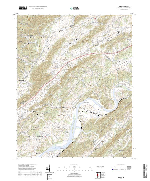
2022 Map of Burem
USGS Topo · Published 2022About this map
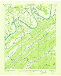
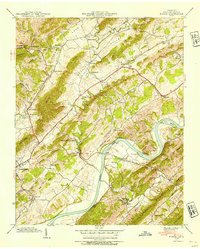
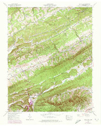
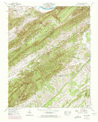
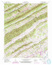
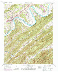
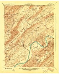
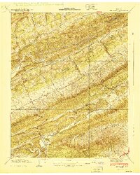
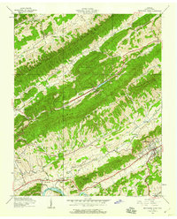
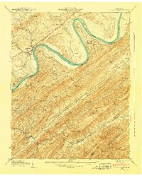
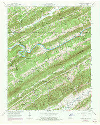
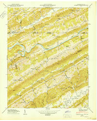
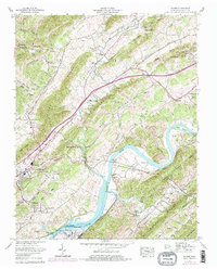
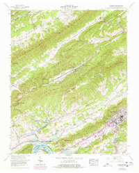
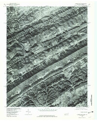
Hickory Cove and the Stanley Valley dominate this landscape, where the Holston River’s course is marked by expansive reaches of Cherokee Lake. The terrain is defined by a series of parallel ridges and hollows, including Miller Ridge and the Devils Nose Valley, which have historically dictated the placement of settlements like Rogersville and Burem. Local history is preserved in the numerous family burying grounds scattered across the countryside, such as Loonys Cem, Ward Cem, and Pearson Cem, reflecting generations of land stewardship.
Find a feature on this map
187 named features on this map. Tap any name to fly to it.
Don’t see what you’re looking for? This feature index may not catch every label — zoom into the map to look around manually.
Map Details
Editions of this 2022 Burem Map
This is the sole edition of this map. No revisions or reprints were ever made.
Historical Maps of Zion Hill Through Time
28 maps found
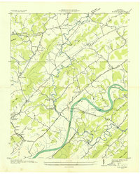
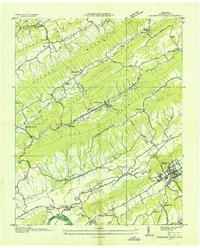
1935 Burem
Hawkins County, TN
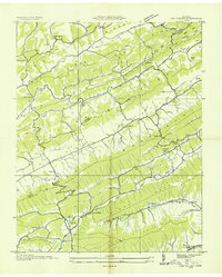
1935 Lee Valley
Hawkins County, TN

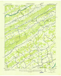
1935 Looneys Gap
Hawkins County, TN

1935 Lovelace
Hawkins County, TN
1935 Plum Grove
Hawkins County, TN
1935 Pressmens Home
Hawkins County, TN
1935 Stonypoint
Hawkins County, TN
1939 Burem
Hawkins County, TN
1939 Lee Valley
Hawkins County, TN
1939 Lovelace
Hawkins County, TN
1939 Plum Grove
Hawkins County, TN
1939 Stony Point
Hawkins County, TN
1940 Burem
Hawkins County, TN
1940 Lee Valley
Hawkins County, TN
1940 Pressmens Home
Hawkins County, TN
1940 Stony Point
Hawkins County, TN
1947 Looneys Gap
Hawkins County, TN
1950 Looneys Gap
Hawkins County, TN
1961 Burem
Hawkins County, TN
1961 Camelot
Hawkins County, TN
1976 Looneys Gap
Hawkins County, TN
2022 Burem
Hawkins County, TN
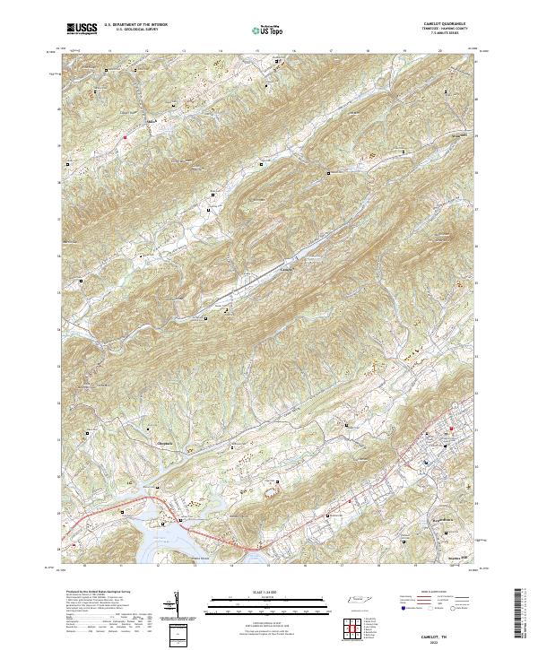
2022 Camelot
Hawkins County, TN
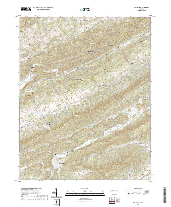
2022 Lee Valley
Hawkins County, TN
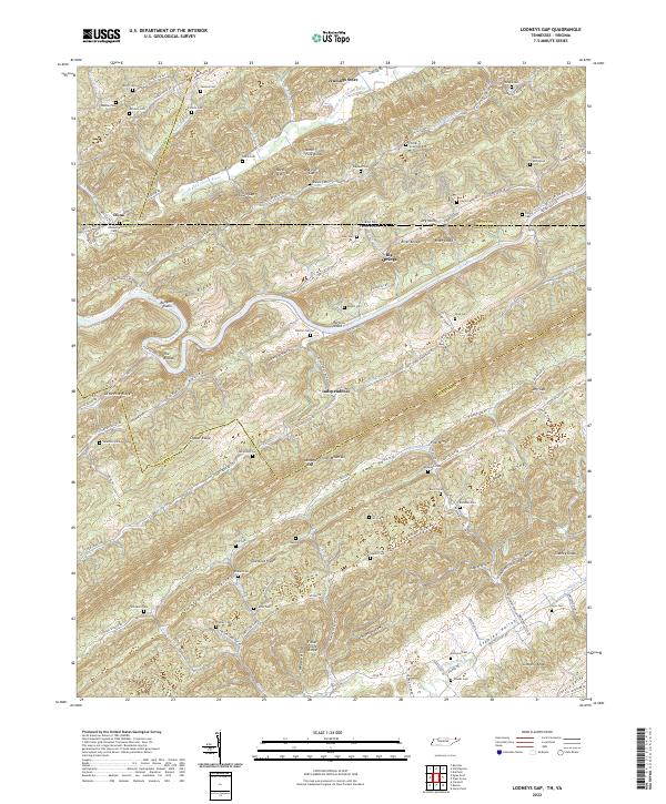
2022 Looneys Gap
Hawkins County, TN
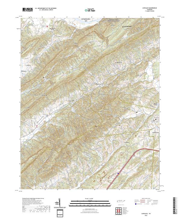
2022 Lovelace
Hawkins County, TN
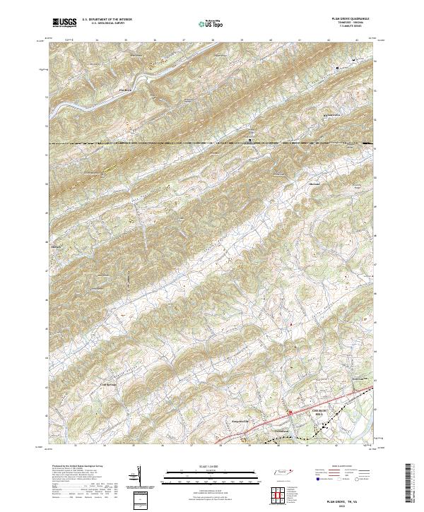
2022 Plum Grove
Hawkins County, TN
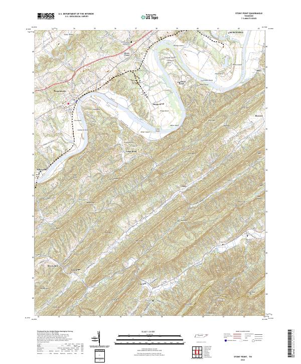
2022 Stony Point
Hawkins County, TN