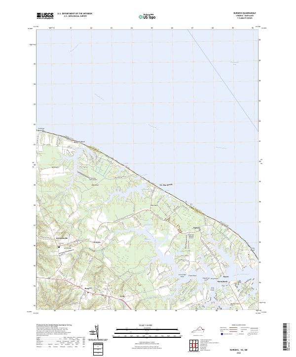
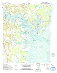
2022 Map of Burgess
USGS Topo · Published 2022About this map
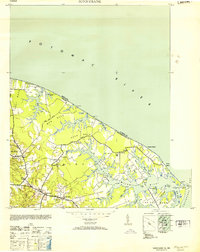
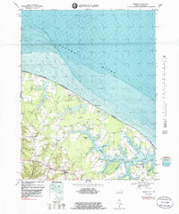
The Potomac River meets the Chesapeake Bay at this coastal edge of Northumberland County, where the landscape is defined by the complex branching of the Little Wicomico River. This 2022 survey captures a transition between inland agricultural crossroad communities and the seasonal waterfront landings of the Northern Neck. The village of Burgess serves as a central hub, while the interior is dotted with small airstrips such as Jett Airpark and Serenity Farm Airport, reflecting the region’s modern aviation character alongside its traditional maritime roots.
Find a feature on this map
106 named features on this map. Tap any name to fly to it.
Don’t see what you’re looking for? This feature index may not catch every label — zoom into the map to look around manually.
Map Details
Editions of this 2022 Burgess Map
This is the sole edition of this map. No revisions or reprints were ever made.
Historical Maps of Vir-Mar Beach Through Time
16 maps found
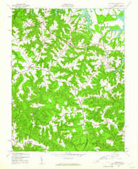
1944 Lottsburg
Northumberland County, VA
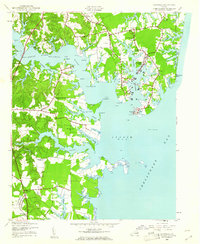
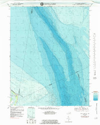
1944 Reedville
Northumberland County, VA
1944 Sunnybank
Northumberland County, VA
1953 Sunnybank
Northumberland County, VA
1968 Burgess
Northumberland County, VA
1968 East of Reedville
Northumberland County, VA
1968 Lottsburg
Northumberland County, VA
1968 Reedville
Northumberland County, VA
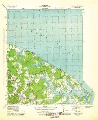
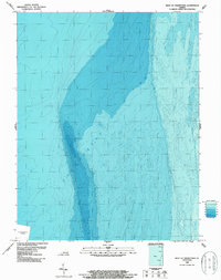
1968 Smith Point
Northumberland County, VA
1986 West of Franktown
Northumberland County, VA
2022 Burgess
Northumberland County, VA
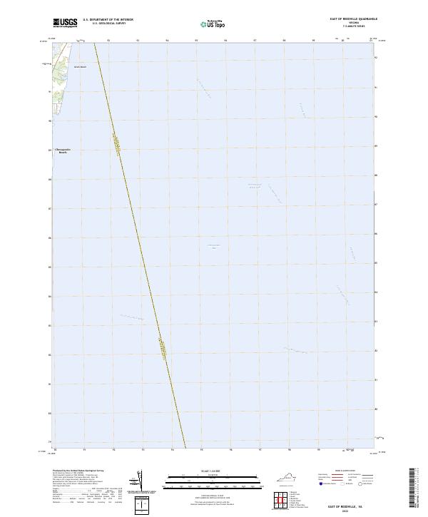
2022 East of Reedville
Northumberland County, VA
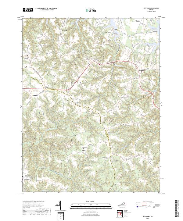
2022 Lottsburg
Northumberland County, VA
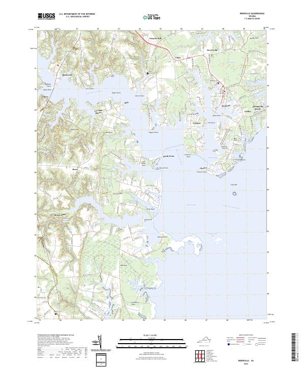
2022 Reedville
Northumberland County, VA
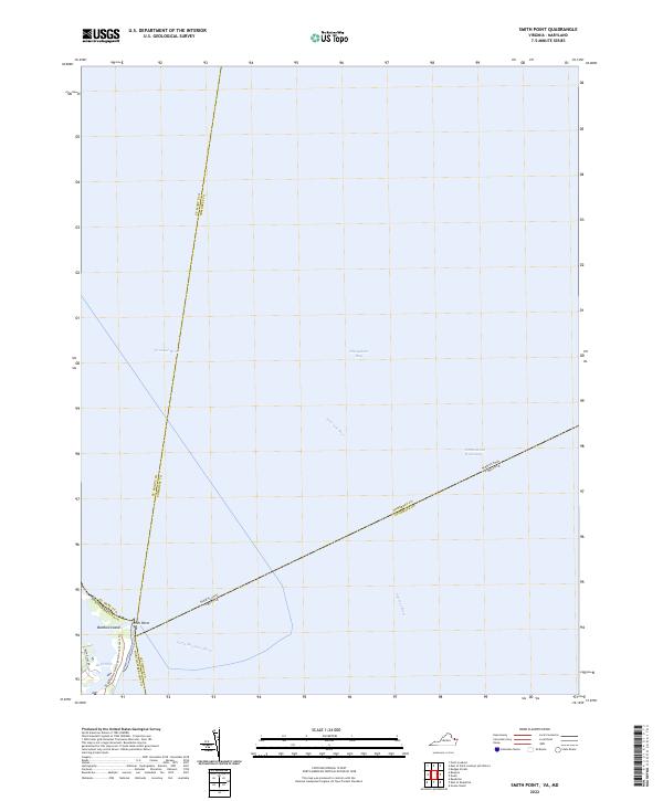
2022 Smith Point
Northumberland County, VA
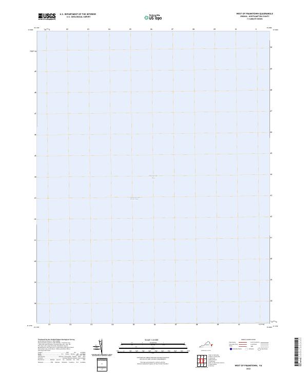
2022 West of Franktown
Northumberland County, VA