
1906 Map of Burgettstown
USGS Topo · Published 1906About this map
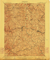
Burgettstown stands as a central rail hub in Washington County, Pennsylvania, at the intersection of the Pittsburgh Cincinnati Chicago and St Louis RR and several local watercourses. The 1904 survey reveals a landscape defined by an intensive extraction economy, evidenced by the Francis Mine and Shaw Mine, and the strategic placement of McDonald Waterworks near the Washington-Allegheny county line.
Find a feature on this map
76 named features on this map. Tap any name to fly to it.
Don’t see what you’re looking for? This feature index may not catch every label — zoom into the map to look around manually.
Map Details
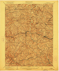
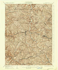
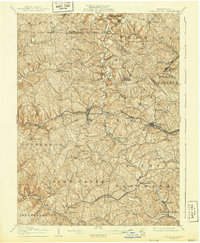
Editions of this 1906 Burgettstown Map
5 editions found
Other maps of this area

1901 · Amity
USGS Topo · 1:62,500

1901 · Beaver
USGS Topo · 1:62,500

1902 · Wheeling
USGS Topo · 1:62,500

1904 · Amity
USGS Topo · 1:62,500

1904 · Wellsville
USGS Topo · 1:62,500

1904 · Steubenville
USGS Topo · 1:62,500

1904 · Beaver
USGS Topo · 1:62,500

1904 · Carnegie
USGS Topo · 1:62,500

1904 · Burgettstown
USGS Topo · 1:62,500

1906 · Carnegie
USGS Topo · 1:62,500
Featured Places
- Cecil Township, PA
- Independence Township, PA
- Robinson Township, PA
- Cross Creek Township, PA
- Independence Township, PA