
1909 Map of Burnet
USGS Topo · Published 1909About this map
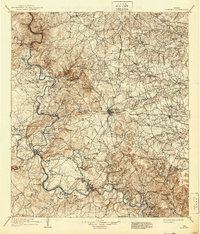
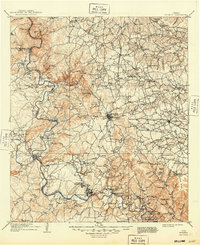
Burnet serves as the central hub for this 1909 study of Central Texas, where the Western Division railroad connects the county seat with outlying communities like Bertram and Sudduth. The landscape is defined by the winding course of the Colorado River and its confluence with the Llano River near Kingsland. This era reveals a river-driven economy before the age of major dams, marked by numerous river crossings such as Tanyard Crossing, Wolf Crossing, and Pangle Crossing.
Find a feature on this map
129 named features on this map. Tap any name to fly to it.
Don’t see what you’re looking for? This feature index may not catch every label — zoom into the map to look around manually.
Map Details
Editions of this 1909 Burnet Map
3 editions found
Other maps of this area

1885 · San Saba
USGS Topo · 1:125,000

1887 · Llano
USGS Topo · 1:125,000

1887 · Lampasas
USGS Topo · 1:125,000

1887 · Blanco
USGS Topo · 1:125,000

1887 · Burnet
USGS Topo · 1:125,000

1893 · Georgetown
USGS Topo · 1:125,000

1893 · Burnet
USGS Topo · 1:125,000

1894 · Fredericksburg
USGS Topo · 1:125,000

1894 · Lampasas
USGS Topo · 1:125,000

1894 · Gatesville
USGS Topo · 1:125,000