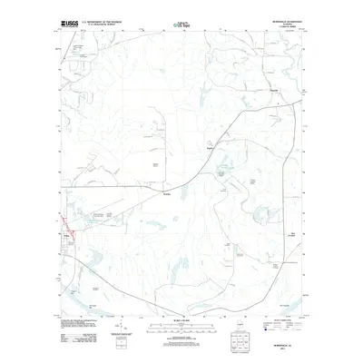
2011 Map of Burnsville
USGS Topo · Published 2011About this map
The Alabama River flows along the southwestern corner of this Dallas County landscape, where the alluvial terrain is marked by distinctive features like Tipton Bar and Kornegay Bar. The area north of the river is a patchwork of small communities and rural family landmarks, including the settlements of Brantley, Manila, and Burnsville. Transportation in this era is anchored by the Selfield Airport and a network of county roads that connect scattered cemeteries and religious sites. Genealogists will find a wealth of local-history detail in the numerous burial grounds documented here, from the DuBose Family Cemetery and Kelso Cemetery to the New Everdale Cemetery in the east. Water resources are central to the landscape, with various dams such as the J Friday Number 1 Dam creating several small lakes and ponds across the quadrangle.
Find a feature on this map
86 named features on this map. Tap any name to fly to it.
Don’t see what you’re looking for? This feature index may not catch every label — zoom into the map to look around manually.
Map Details
Editions of this 2011 Burnsville Map
This is the sole edition of this map. No revisions or reprints were ever made.
Other maps of this area

1891 · Clanton
USGS Topo · 1:125,000

1953 · Montgomery
USGS Topo · 1:250,000

1956 · Montgomery
USGS Topo · 1:250,000

1957 · Montgomery
USGS Topo · 1:250,000

1957 · Benton
USGS Topo · 1:62,500

1958 · Selma
USGS Topo · 1:62,500

1958 · Selma
USGS Topo · 1:24,000

1959 · Plantersville
USGS Topo · 1:62,500

1959 · Summerfield
USGS Topo · 1:62,500

1975 · Benton SE
USGS Topo · 1:24,000