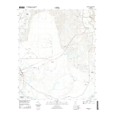
2014 Map of Burnsville
USGS Topo · Published 2014About this map
The Alabama River carves the southern boundary of this Dallas County landscape, where the city of Selma meets the rural outskirts. Navigation and river history are evident in features like Tipton Bar and Fish Trap Bar, while the interior terrain is marked by small settlements like Manila, Brantley, and Valley Grande. The area north of the river is a patchwork of small lakes and family-named landmarks, including the J Friday Number 1 Lake and J Friday Number 2 Lake.
Find a feature on this map
94 named features on this map. Tap any name to fly to it.
Don’t see what you’re looking for? This feature index may not catch every label — zoom into the map to look around manually.
Map Details
Editions of this 2014 Burnsville Map
This is the sole edition of this map. No revisions or reprints were ever made.
Other maps of this area

1891 · Clanton
USGS Topo · 1:125,000

1953 · Montgomery
USGS Topo · 1:250,000

1956 · Montgomery
USGS Topo · 1:250,000

1957 · Montgomery
USGS Topo · 1:250,000

1957 · Benton
USGS Topo · 1:62,500

1958 · Selma
USGS Topo · 1:62,500

1958 · Selma
USGS Topo · 1:24,000

1959 · Plantersville
USGS Topo · 1:62,500

1959 · Summerfield
USGS Topo · 1:62,500

1975 · Benton SE
USGS Topo · 1:24,000