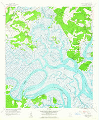
1957 Map of Burroughs
USGS Topo · Published 1964About this map
The Little Ogeechee River and its labyrinthine marshlands dominate this mid-century survey of coastal Georgia, where the salt marshes of Middle Marsh separate inland settlements from the coastal islands. The landscape is a complex network of tidal waterways, including Hoover Creek and the Vernon River, surrounding landmarks such as Steadman Island and Rose Dew Island. Near the southern bend of the Ogeechee River sits the defensive site of Fort McAllister, guarding the river approach long after its Civil War significance.
Find a feature on this map
51 named features on this map. Tap any name to fly to it.
Don’t see what you’re looking for? This feature index may not catch every label — zoom into the map to look around manually.
Map Details
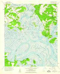
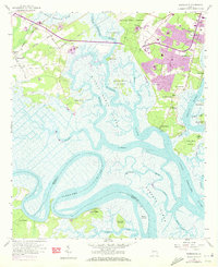
Editions of this 1957 Burroughs Map
3 editions found
Other maps of this area

1920 · Meldrim
USGS Topo · 1:62,500

1920 · Limerick
USGS Topo · 1:62,500

1942 · Meldrim
USGS Topo · 1:62,500

1942 · Savannah
USGS Topo · 1:62,500

1944 · Limerick
USGS Topo · 1:62,500

1944 · Ossabaw Island
USGS Topo · 1:62,500

1945 · Ossabaw Island
USGS Topo · 1:62,500

1946 · Brunswick
USGS Topo · 1:250,000

1947 · Savannah
USGS Topo · 1:250,000

1948 · Brunswick
USGS Topo · 1:250,000