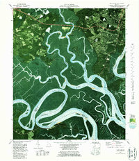
1979 Map of Burroughs
USGS Topo · Published 1987About this map
Little Ogeechee River and the Ogeechee River define this coastal landscape, where the tides weave through a complex network of marshlands and winding waterways like Middle Marsh and Hoover Creek. This late 1970s orthophotomap documents the interface of the Savannah suburbs with the low country's intricate hydrography, revealing a pattern of development concentrated on higher ground like Rose Dhu Island and around the Burroughs settlement.
Find a feature on this map
59 named features on this map. Tap any name to fly to it.
Don’t see what you’re looking for? This feature index may not catch every label — zoom into the map to look around manually.
Map Details
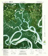
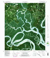
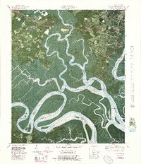
Editions of this 1979 Burroughs Map
4 editions found
Other maps of this area

1920 · Meldrim
USGS Topo · 1:62,500

1920 · Limerick
USGS Topo · 1:62,500

1942 · Meldrim
USGS Topo · 1:62,500

1942 · Savannah
USGS Topo · 1:62,500

1944 · Limerick
USGS Topo · 1:62,500

1944 · Ossabaw Island
USGS Topo · 1:62,500

1945 · Ossabaw Island
USGS Topo · 1:62,500

1946 · Brunswick
USGS Topo · 1:250,000

1947 · Savannah
USGS Topo · 1:250,000

1948 · Brunswick
USGS Topo · 1:250,000