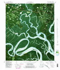
1979 Map of Burroughs
USGS Topo · Published 1988About this map
The Little Ogeechee River and its labyrinthine tributaries define this coastal Georgia landscape south of Savannah. In the late 1970s, the area exhibits a mix of military presence at Hunter Army Airfield and scattered residential growth in communities like Montgomery and Burroughs. The map provides significant detail for genealogists and local historians, including the Wild Horn Cem off Wild Horn Road and Grove Cem near the Grove Point terrain.
Find a feature on this map
58 named features on this map. Tap any name to fly to it.
Don’t see what you’re looking for? This feature index may not catch every label — zoom into the map to look around manually.
Map Details
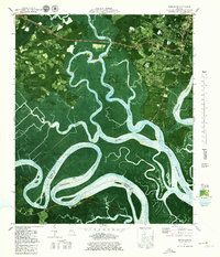
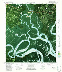
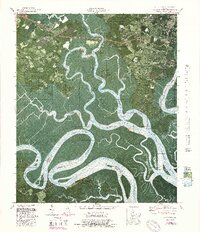
Editions of this 1979 Burroughs Map
4 editions found
Other maps of this area

1920 · Meldrim
USGS Topo · 1:62,500

1920 · Limerick
USGS Topo · 1:62,500

1942 · Meldrim
USGS Topo · 1:62,500

1942 · Savannah
USGS Topo · 1:62,500

1944 · Limerick
USGS Topo · 1:62,500

1944 · Ossabaw Island
USGS Topo · 1:62,500

1945 · Ossabaw Island
USGS Topo · 1:62,500

1946 · Brunswick
USGS Topo · 1:250,000

1947 · Savannah
USGS Topo · 1:250,000

1948 · Brunswick
USGS Topo · 1:250,000