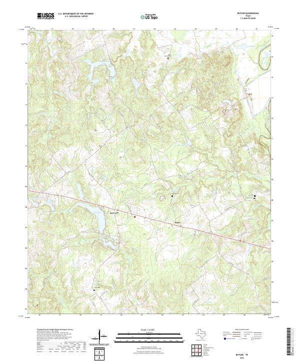
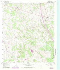
2022 Map of Butler
USGS Topo · Published 2022This historical map portrays the area of Butler in 2022, primarily covering Freestone County as well as portions of Anderson County. Featuring a scale of 1:24000, this map provides a highly detailed snapshot of the terrain, roads, buildings, counties, and historical landmarks in the Butler region at the time. Published in 2022, it is the sole known edition of this map.
Map Details
Editions of this 2022 Butler Map
This is the sole edition of this map. No revisions or reprints were ever made.
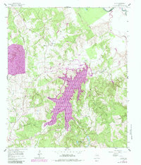
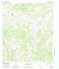
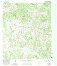
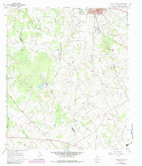
Historical Maps of Red Lake Through Time
22 maps found
1960 Roustabout Camp
Freestone County, TX
1960 Winkler
Freestone County, TX
1961 Young
Freestone County, TX
1963 Stewards Mill
Freestone County, TX
1963 Teague North
Freestone County, TX
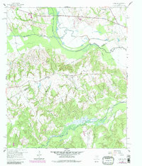
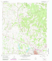
1964 Butler
Freestone County, TX
1964 Keechi
Freestone County, TX
1965 Dew
Freestone County, TX
1965 Lanely
Freestone County, TX
1965 Turlington
Freestone County, TX
1966 Teague South
Freestone County, TX
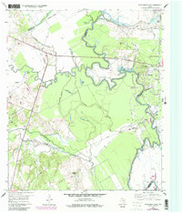
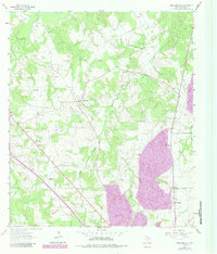
2022 Butler
Freestone County, TX
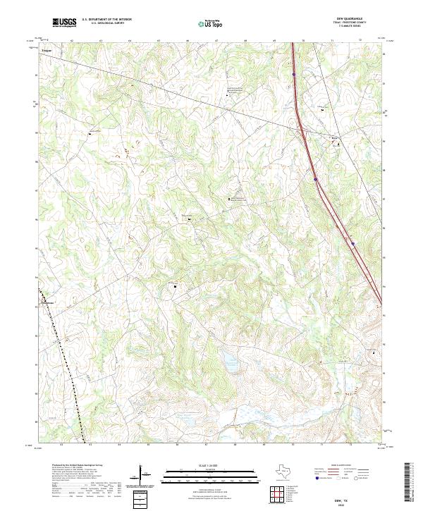
2022 Dew
Freestone County, TX
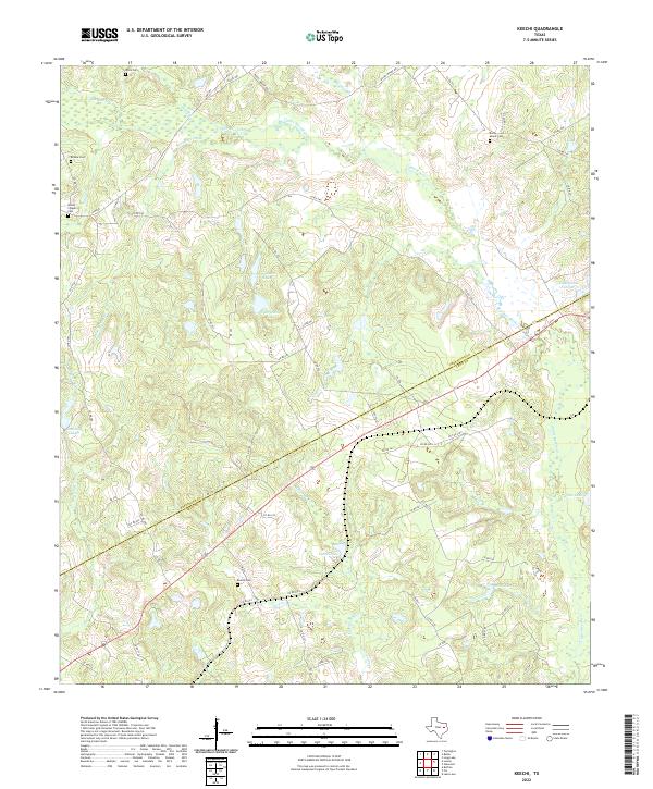
2022 Keechi
Freestone County, TX
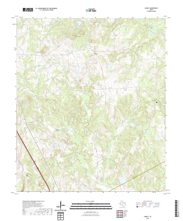
2022 Lanely
Freestone County, TX
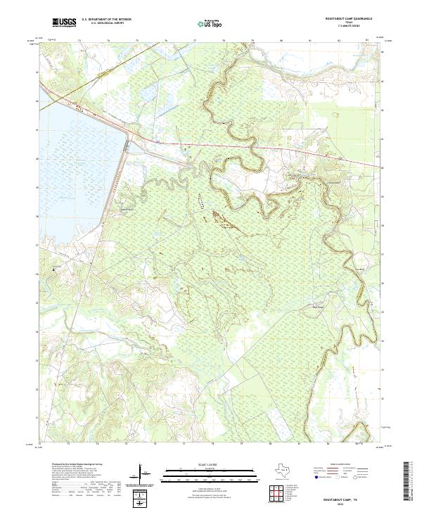
2022 Roustabout Camp
Freestone County, TX
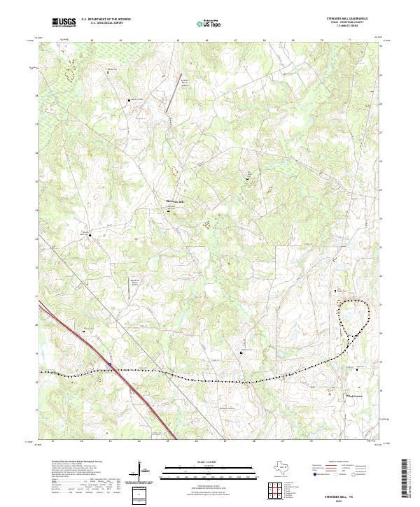
2022 Stewards Mill
Freestone County, TX
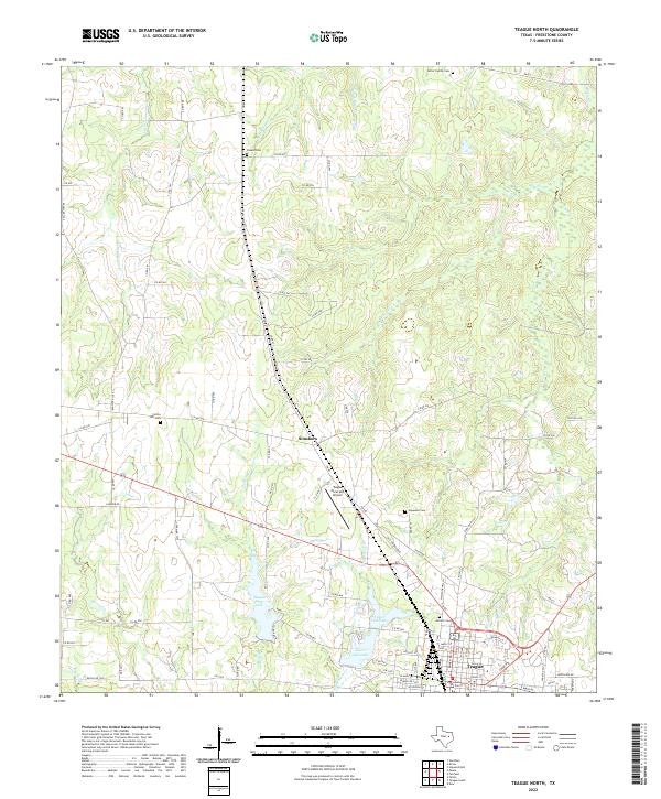
2022 Teague North
Freestone County, TX
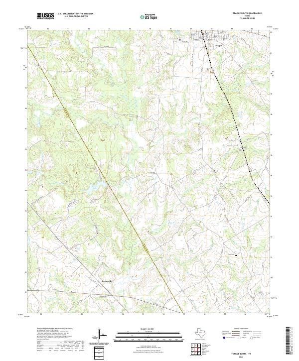
2022 Teague South
Freestone County, TX
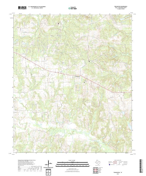
2022 Turlington
Freestone County, TX
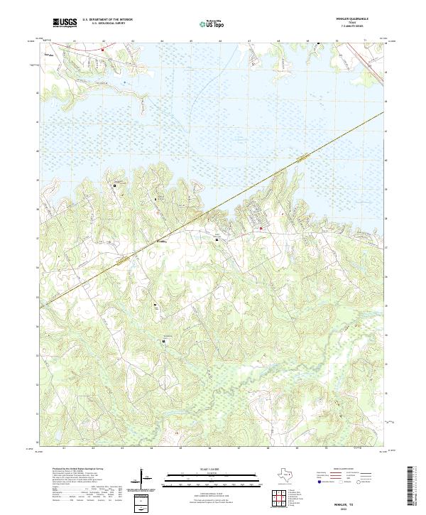
2022 Winkler
Freestone County, TX
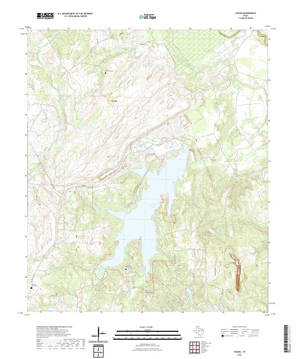
2022 Young
Freestone County, TX