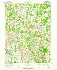
1960 Map of Cadiz
USGS Topo · Published 1962About this map
Cadiz serves as the focal point of this Harrison County landscape, where the intensive footprint of the region's coal industry is visible through numerous strip mines and industrial sites like Nelms Mine No 2 and Nelms Mine No 1. The map reveals a complex transportation network that defined mid-century eastern Ohio, featuring the Pennsylvania, Pittsburgh and West Virginia, and St Louis and Chicago railroads. These lines connect smaller settlements and junctions such as Hopedale, Jewett, and Pittsburgh Junction. Local heritage is anchored by landmarks like the Childrens Home and several rural congregations, including Bethel Ch and Center Unity Ch. The terrain is deeply marked by the extractive economy of the era, showing the extensive tipple operations and the Rexford Tunnel required to move resources across the undulating ridges and creek valleys.
Find a feature on this map
62 named features on this map. Tap any name to fly to it.
Don’t see what you’re looking for? This feature index may not catch every label — zoom into the map to look around manually.
Map Details
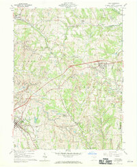
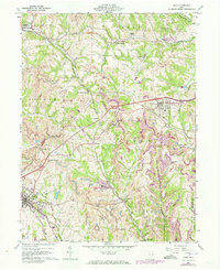
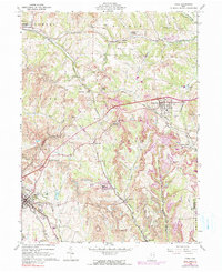
Editions of this 1960 Cadiz Map
4 editions found
Other maps of this area

1901 · Cadiz
USGS Topo · 1:62,500

1902 · Scio
USGS Topo · 1:62,500

1903 · Cadiz
USGS Topo · 1:62,500

1903 · Flushing
USGS Topo · 1:62,500

1904 · Scio
USGS Topo · 1:62,500

1905 · St. Clairsville
USGS Topo · 1:62,500

1905 · Flushing
USGS Topo · 1:62,500

1951 · Canton
USGS Topo · 1:250,000

1953 · Canton
USGS Topo · 1:250,000

1957 · Canton
USGS Topo · 1:250,000