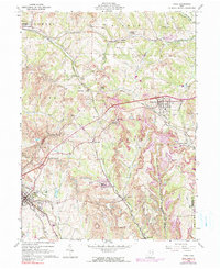
1960 Map of Cadiz
USGS Topo · Published 1990About this map
Strip Mines dominate the hillsides of Harrison County in this mid-century survey, creating a complex landscape where heavy industry meets rural settlement. The extensive network of the Penn Central and Norfolk and Western railroads serves the region's coal economy, connecting points like Pittsburgh Junction and Cadiz Junction. This infrastructure supports major operations such as Nelms Mine No 2 and Nelms Mine No 1.
Find a feature on this map
48 named features on this map. Tap any name to fly to it.
Don’t see what you’re looking for? This feature index may not catch every label — zoom into the map to look around manually.
Map Details
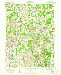
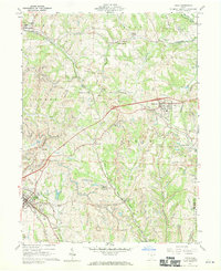
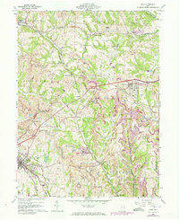
Editions of this 1960 Cadiz Map
4 editions found
Other maps of this area

1901 · Cadiz
USGS Topo · 1:62,500

1902 · Scio
USGS Topo · 1:62,500

1903 · Cadiz
USGS Topo · 1:62,500

1903 · Flushing
USGS Topo · 1:62,500

1904 · Scio
USGS Topo · 1:62,500

1905 · St. Clairsville
USGS Topo · 1:62,500

1905 · Flushing
USGS Topo · 1:62,500

1951 · Canton
USGS Topo · 1:250,000

1953 · Canton
USGS Topo · 1:250,000

1957 · Canton
USGS Topo · 1:250,000