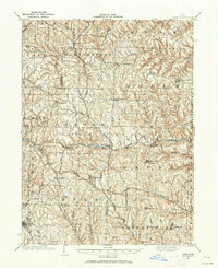
1901 Map of Cadiz
USGS Topo · Published 1962About this map
The rugged hill country of eastern Ohio is defined by a dense network of early 20th-century rail lines and farming settlements. The Pittsburgh Cincinnati Chicago and St Louis railway carves a path through the center of the region, connecting hubs like Bloomingdale and Unionport along Cross Creek. These iron corridors provided the primary economic lifeblood for the numerous township divisions, including German, Wayne, and Smithfield, where small stations such as Miller Sta and Fairplay served as local collection points for the surrounding agricultural landscape.
Find a feature on this map
73 named features on this map. Tap any name to fly to it.
Don’t see what you’re looking for? This feature index may not catch every label — zoom into the map to look around manually.
Map Details
Editions of this 1901 Cadiz Map
2 editions found
Other maps of this area

1901 · Cadiz
USGS Topo · 1:62,500

1902 · Wheeling
USGS Topo · 1:62,500

1902 · Scio
USGS Topo · 1:62,500

1903 · Cadiz
USGS Topo · 1:62,500

1903 · Flushing
USGS Topo · 1:62,500

1904 · Wellsville
USGS Topo · 1:62,500

1904 · Steubenville
USGS Topo · 1:62,500

1904 · Scio
USGS Topo · 1:62,500

1905 · St. Clairsville
USGS Topo · 1:62,500

1905 · Flushing
USGS Topo · 1:62,500