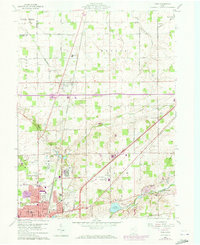
1960 Map of Cairo
USGS Topo · Published 1973About this map
Cairo and the northern outskirts of Lima anchor this 1960 survey of Allen County, showing a landscape defined by traditional agriculture and expanding public infrastructure. The sprawling grounds of the Lima State Hospital and its associated State Hospital Cemetery occupy a significant portion of the American and Ottawa townships. The map records several small communities and rural intersections, including Rockport and the interestingly named Slabtown, situated along the Norfolk And Western railroad line.
Find a feature on this map
82 named features on this map. Tap any name to fly to it.
Don’t see what you’re looking for? This feature index may not catch every label — zoom into the map to look around manually.
Map Details
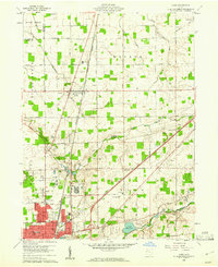
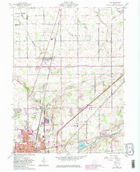
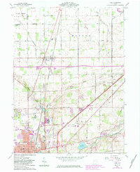
Editions of this 1960 Cairo Map
4 editions found
Other maps of this area

1906 · Lima
USGS Topo · 1:62,500

1906 · Columbus Grove
USGS Topo · 1:62,500

1907 · Bluffton
USGS Topo · 1:62,500

1908 · Columbus Grove
USGS Topo · 1:62,500

1913 · Alger
USGS Topo · 1:48,000

1915 · Alger
USGS Topo · 1:62,500

1943 · Alger
USGS Topo · 1:62,500

1950 · Marion
USGS Topo · 1:250,000

1953 · Muncie
USGS Topo · 1:250,000

1956 · Muncie
USGS Topo · 1:250,000