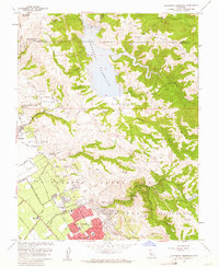
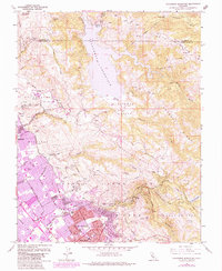
1961 Map of Calaveras Reservoir
USGS Topo · Published 1962About this map
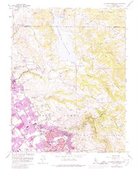
The Calaveras Reservoir dominates the northern terrain of this 1961 survey, where the waters of Alameda Creek and Calaveras Creek meet amidst the high ridges of Poverty Ridge and the Los Buellos Hills. This era captures a transitional landscape on the edges of the Santa Clara Valley, where the expanding city boundaries of San Jose and Milpitas begin to push into the foothills. The residential growth of Berryessa is visible in the southwestern corner, characterized by new street grids near San Jose and several local institutions such as San Jose Hospital and McCollam Sch.
Find a feature on this map
40 named features on this map. Tap any name to fly to it.
Don’t see what you’re looking for? This feature index may not catch every label — zoom into the map to look around manually.
Map Details
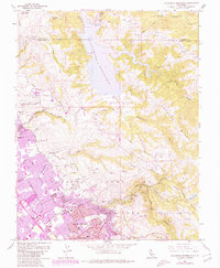
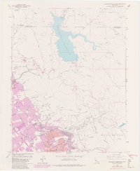
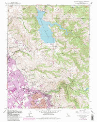
Editions of this 1961 Calaveras Reservoir Map
9 editions found
Other maps of this area

1889 · San Jose
USGS Topo · 1:62,500

1897 · San Jose
USGS Topo · 1:62,500

1897 · Mt. Hamilton
USGS Topo · 1:62,500

1899 · San Jose
USGS Topo · 1:62,500

1906 · Pleasanton
USGS Topo · 1:62,500

1907 · Tesla
USGS Topo · 1:62,500

1941 · Pleasanton
USGS Topo · 1:62,500

1942 · Mt. Hamilton
USGS Topo · 1:62,500

1942 · Altamont
USGS Topo · 1:62,500

1943 · Pleasanton
USGS Topo · 1:62,500