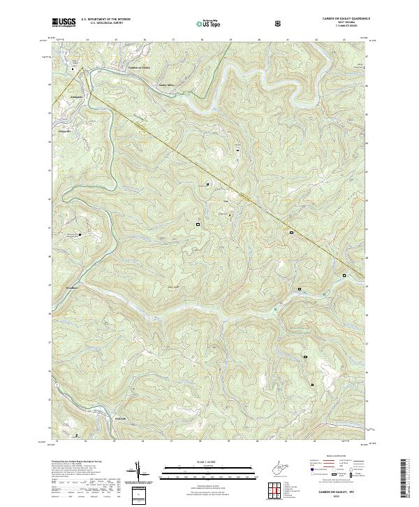
2023 Map of Camden On Gauley
USGS Topo · Published 2023About this map
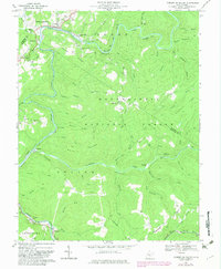
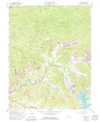
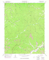
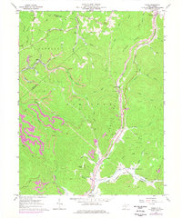
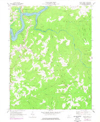
Camden on Gauley and Gauley Mills sit at a sharp bend in the river, where the border between Webster and Nicholas counties follows the winding course of the Gauley River. This modern topographic survey illustrates the intersection of small valley settlements and the expansive Monongahela National Forest. The landscape is defined by its drainage network, including Big Laurel Creek and the Cherry River, which meet among steep ridges like Horse Ridge and Cranberry Ridge.
Find a feature on this map
75 named features on this map. Tap any name to fly to it.
Don’t see what you’re looking for? This feature index may not catch every label — zoom into the map to look around manually.
Map Details
Editions of this 2023 Camden On Gauley Map
This is the sole edition of this map. No revisions or reprints were ever made.
Historical Maps of Allingdale Through Time
20 maps found

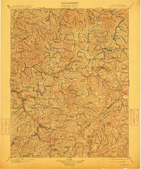
1889 Nicholas
Nicholas County, WV

1891 Nicholas
Nicholas County, WV
1901 Nicholas
Nicholas County, WV
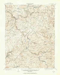
1914 Winona
Nicholas County, WV
1916 Winona
Nicholas County, WV
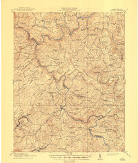
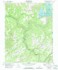
1966 Camden On Gauley
Nicholas County, WV
1967 Gilboa
Nicholas County, WV
1967 Lockwood
Nicholas County, WV
1967 Widen
Nicholas County, WV
1969 Mount Nebo
Nicholas County, WV
1969 Summersville Dam
Nicholas County, WV
1995 Camden on Gauley
Nicholas County, WV
1996 Gilboa
Nicholas County, WV
1996 Lockwood
Nicholas County, WV
2023 Camden On Gauley
Nicholas County, WV
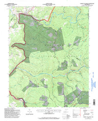
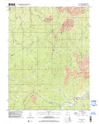
2023 Gilboa
Nicholas County, WV
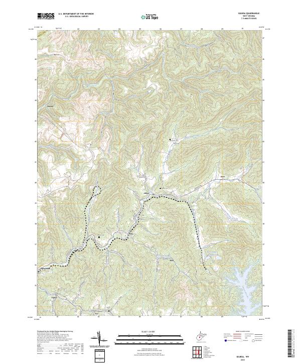
2023 Lockwood
Nicholas County, WV
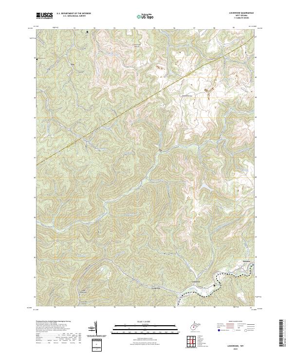
2023 Mount Nebo
Nicholas County, WV
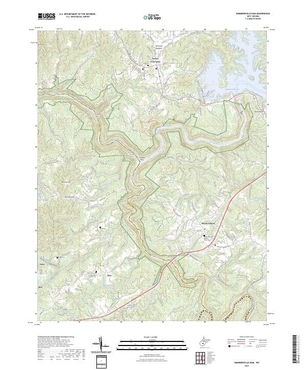
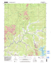
2023 Summersville Dam
Nicholas County, WV
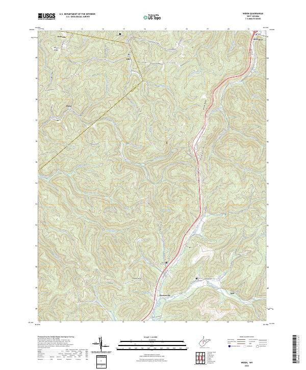
2023 Widen
Nicholas County, WV