
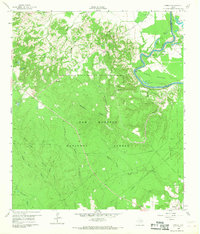
1960 Map of Camilla
USGS Topo · Published 1962About this map
The Trinity River winds through the eastern portion of this quadrangle, carving out the prominent Simon Peter Bend and creating a complex landscape of oxbow lakes and wetlands known as Simon Bottom. Much of the central and southern terrain is dominated by the Sam Houston National Forest, where a network of drainages like Huffman Creek and Tarkington Bayou provide the primary geographic structure.
Find a feature on this map
37 named features on this map. Tap any name to fly to it.
Don’t see what you’re looking for? This feature index may not catch every label — zoom into the map to look around manually.
Map Details
Editions of this 1960 Camilla Map
4 editions found
Other maps of this area

1943 · Liberty
USGS Topo · 1:125,000

1954 · Beaumont
USGS Topo · 1:250,000

1955 · Rayburn
USGS Topo · 1:62,500

1957 · Beaumont
USGS Topo · 1:250,000

1958 · Westcott
USGS Topo · 1:24,000

1958 · Livingston
USGS Topo · 1:62,500

1958 · Bear Creek
USGS Topo · 1:24,000

1960 · Blanchard
USGS Topo · 1:24,000

1960 · Stephen Creek
USGS Topo · 1:24,000

1960 · Coldspring
USGS Topo · 1:24,000