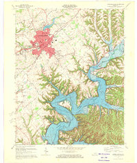
1970 Map of Campbellsville
USGS Topo · Published 1972About this map
Campbellsville serves as the focal point of this 1970 revision, appearing as a developed hub with a concentration of civic and educational institutions. The map details the local landscape just as the massive Green River Lake and the adjacent Green River Lake State Park had become dominant features to the south, significantly altering the drainage patterns of Robinson Creek and its many branches. The town itself is anchored by Campbellsville College and the Taylor Co High Sch, while local industry and infrastructure are represented by the Taylor County Airport and the Sewage Disposal plant along Pitman Creek.
Find a feature on this map
51 named features on this map. Tap any name to fly to it.
Don’t see what you’re looking for? This feature index may not catch every label — zoom into the map to look around manually.
Map Details
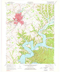
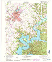
Editions of this 1970 Campbellsville Map
3 editions found
Other maps of this area

1952 · Mannsville
USGS Topo · 1:24,000

1952 · Bradfordsville
USGS Topo · 1:24,000

1953 · Campbellsville
USGS Topo · 1:24,000

1953 · Saloma
USGS Topo · 1:24,000

1953 · Gresham
USGS Topo · 1:24,000

1953 · Spurlington
USGS Topo · 1:24,000

1953 · Cane Valley
USGS Topo · 1:24,000

1953 · Bradfordsville
USGS Topo · 1:24,000

1954 · Knifley
USGS Topo · 1:24,000

1954 · Greensburg
USGS Topo · 1:24,000