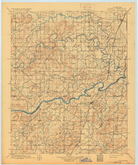
1900 Map of Canadian
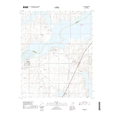
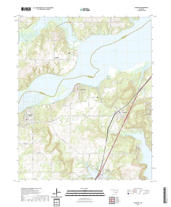
USGS Topo · Published 1930About this map
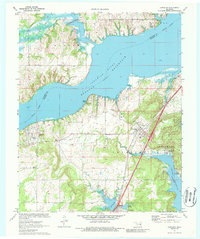
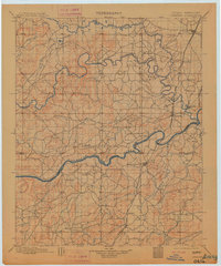
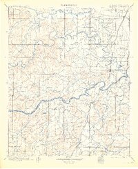
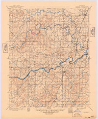
The boundary between the Cherokee Nation and Choctaw Nation bisects this late nineteenth-century landscape, centered on the confluence of the North Fork Canadian River and the Canadian River. The terrain is defined by a dense network of winding tributaries like Baptising Creek and Flat Rock Creek, which supported early Indian Territory settlements. The Missouri Kansas and Texas Railway serves as the primary industrial spine, linking the northern cattle town of Checotah with the established community of Eufaula and the ferry crossing at South Canadian. This era of documentation predates the massive mid-century reservoirs that would eventually submerge several low-lying areas shown here, preserving the original positions of sites like Fishertown and Bower alongside the numerous family-named landmarks and rural post offices that characterized the region before Oklahoma statehood.
Find a feature on this map
37 named features on this map. Tap any name to fly to it.
Don’t see what you’re looking for? This feature index may not catch every label — zoom into the map to look around manually.
Map Details
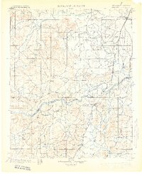
Editions of this 1900 Canadian Map
6 editions found

Historical Maps of Henryetta Through Time
7 maps found