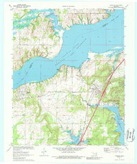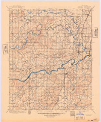
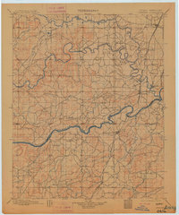
1900 Map of Canadian
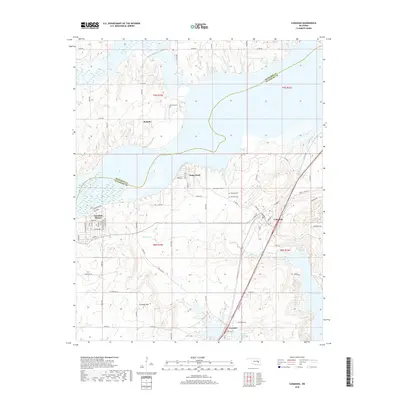
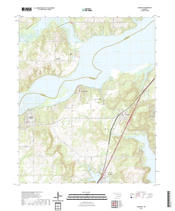
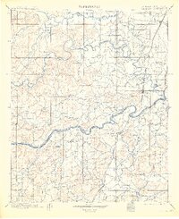
USGS Topo · Published 1949About this map
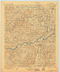
The Cherokee Nation and Choctaw Nation border one another in this late-nineteenth-century survey of Indian Territory, centered on the confluence of the North Fork Canadian River and the main Canadian River. The landscape is dominated by the river valleys and the early infrastructure of the Missouri Kansas and Texas railroad, which threads through the eastern portion of the map. Major settlements like Eufaula and Checotah appear as established hubs, while smaller rail stops and post offices such as Bond Sta, Fame, and Fishertown mark the contemporary trade routes before later twentieth-century dam projects altered the river courses.
Find a feature on this map
37 named features on this map. Tap any name to fly to it.
Don’t see what you’re looking for? This feature index may not catch every label — zoom into the map to look around manually.
Map Details
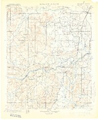
Editions of this 1900 Canadian Map
6 editions found

Historical Maps of Henryetta Through Time
7 maps found