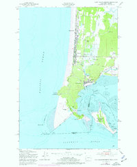
1949 Map of Cape Disappointment
USGS Topo · Published 1977About this map
Cape Disappointment dominates this coastal landscape where the Columbia River meets the Pacific Ocean. The map reveals a high concentration of maritime and military infrastructure, including the strategically positioned Fort Canby and the North Head Lighthouse. Inland from the dramatic headlands, the terrain transitions into a network of marshes and lakes like Black Lake and Cranberry Marsh, supporting small coastal settlements and family-named landmarks such as Pugh Ranch and Johnson Ranch.
Find a feature on this map
42 named features on this map. Tap any name to fly to it.
Don’t see what you’re looking for? This feature index may not catch every label — zoom into the map to look around manually.
Map Details
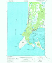
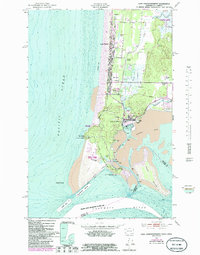
Editions of this 1949 Cape Disappointment Map
4 editions found
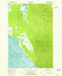
Other maps of this area

1919 · Astoria
USGS Topo · 1:62,500

1938 · Cape Disappointment
USGS Topo · 1:62,500

1938 · Fort Columbia
USGS Topo · 1:62,500

1939 · Astoria
USGS Topo · 1:62,500

1943 · Fort Columbia
USGS Topo · 1:62,500

1943 · Copalis Beach
USGS Topo · 1:250,000
1949 · Chinook
USGS Topo · 1:24,000
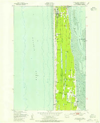
1949 · Ocean Park
USGS Topo · 1:24,000
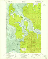
1949 · Long Island
USGS Topo · 1:24,000
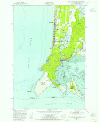
1949 · Cape Disappointment
USGS Topo · 1:24,000