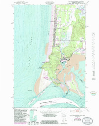
1949 Map of Cape Disappointment
USGS Topo · Published 1985About this map
The dramatic headlands of Cape Disappointment stand at the meeting point of the Columbia River and the Pacific Ocean, anchoring a landscape defined by maritime safety and military history. This mid-century survey captures the strategic importance of the peninsula, home to both the North Head Lighthouse and the Cape Disappointment Lighthouse, as well as the installations of Fort Canby. To the north, the peninsula transitions into the coastal resort and residential areas of Long Beach, Seaview, and Holman, which are separated from the inland marshes by the Old Grade Railroad.
Find a feature on this map
45 named features on this map. Tap any name to fly to it.
Don’t see what you’re looking for? This feature index may not catch every label — zoom into the map to look around manually.
Map Details
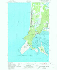
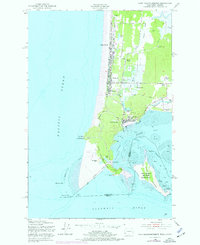
Editions of this 1949 Cape Disappointment Map
4 editions found
Other maps of this area

1919 · Astoria
USGS Topo · 1:62,500

1938 · Cape Disappointment
USGS Topo · 1:62,500

1938 · Fort Columbia
USGS Topo · 1:62,500

1939 · Astoria
USGS Topo · 1:62,500

1943 · Fort Columbia
USGS Topo · 1:62,500

1943 · Copalis Beach
USGS Topo · 1:250,000

1949 · Chinook
USGS Topo · 1:24,000

1949 · Ocean Park
USGS Topo · 1:24,000

1949 · Long Island
USGS Topo · 1:24,000
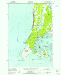
1949 · Cape Disappointment
USGS Topo · 1:24,000