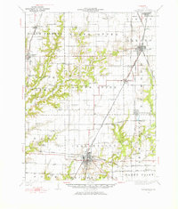
1931 Map of Carlinville
USGS Topo · Published 1976About this map
Carlinville serves as the focal point for this early 20th-century landscape, where a dense network of rail lines including the Chicago and Alton and the Illinois Traction (Electric) converge. The map reveals an agrarian society organized around local schoolhouses and country churches, with labels such as Antioch Church, Charity Church, and the Dressler Mill School marking the intersections of rural life. To the north and west, the terrain is defined by the winding paths of Otter Creek and Hurricane Creek, which carve through the townships of North Palmyra and North Otter. Distinctive local landmarks like Coops Mound rise above the surrounding prairies, while smaller settlements like Modesto, Greenridge, and Nilwood illustrate the era's reliance on railway access for trade and travel across Macoupin County.
Find a feature on this map
86 named features on this map. Tap any name to fly to it.
Don’t see what you’re looking for? This feature index may not catch every label — zoom into the map to look around manually.
Map Details
Editions of this 1931 Carlinville Map
3 editions found

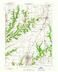
Other maps of this area

1912 · Gillespie
USGS Topo · 1:62,500

1915 · Gillespie
USGS Topo · 1:62,500

1915 · Mount Olive
USGS Topo · 1:62,500

1922 · Divernon
USGS Topo · 1:62,500

1923 · Carlinville
USGS Topo · 1:48,000

1923 · Raymond
USGS Topo · 1:62,500

1924 · Divernon
USGS Topo · 1:62,500

1924 · Waverly
USGS Topo · 1:62,500

1925 · Carlinville
USGS Topo · 1:62,500

1925 · Raymond
USGS Topo · 1:62,500