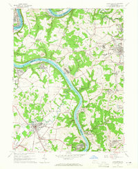
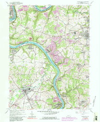
1964 Map of Carmichaels
USGS Topo · Published 1965About this map
The Monongahela River winds through this coal-country landscape at the borders of Greene, Fayette, and Washington Counties, revealing a mid-century industrial network of mining settlements and river transport. Concentrated company towns like Crucible, Isabella, and Nemacolin cling to the riverbanks, while further inland, the landscape is dotted with numerous Mine Dumps, Strip Mines, and gas wells. Significant infrastructure of the era is evident at the Maxwell Lock and the Big Meadow Run Sta, supporting the heavy river traffic. To the east, the distinct layout of Tower Hill No 1 and Tower Hill No 2 reflects the planned nature of early 20th-century patches. Social life is anchored by local institutions such as the Carmichaels Area High Sch, Hopewell Ch, and even a Drive-in Theater near Fairdale, capturing the intersection of heavy industry and everyday Appalachian life during the 1960s.
Find a feature on this map
96 named features on this map. Tap any name to fly to it.
Don’t see what you’re looking for? This feature index may not catch every label — zoom into the map to look around manually.
Map Details
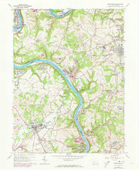
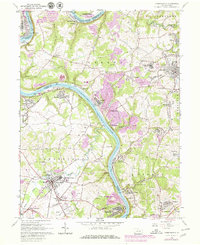
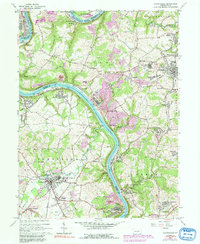
Editions of this 1964 Carmichaels Map
5 editions found
Other maps of this area

1900 · Masontown
USGS Topo · 1:62,500

1901 · Amity
USGS Topo · 1:62,500

1901 · Waynesburg
USGS Topo · 1:62,500

1902 · Brownsville
USGS Topo · 1:62,500

1903 · Masontown
USGS Topo · 1:62,500

1904 · Amity
USGS Topo · 1:62,500

1904 · Waynesburg
USGS Topo · 1:62,500

1906 · Brownsville
USGS Topo · 1:62,500

1931 · Brownsville
USGS Topo · 1:62,500

1931 · Masontown
USGS Topo · 1:62,500