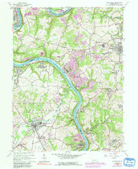
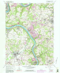
1964 Map of Carmichaels
USGS Topo · Published 1991About this map
The Monongahela River winds through the heart of this landscape, separating the coal and industrial centers of Greene and Fayette Counties. The 1964 terrain reveals a dense network of mining infrastructure, from the Tipple Conveyor at Isabella to the numerous Strip Mines and Mine Dumps that mark the hillsides. Settlement patterns follow the river and the rail lines of the Monongahela and Conrail, with significant communities like Carmichaels and Crucible serving as focal points for the region's mid-century activity.
Find a feature on this map
114 named features on this map. Tap any name to fly to it.
Don’t see what you’re looking for? This feature index may not catch every label — zoom into the map to look around manually.
Map Details
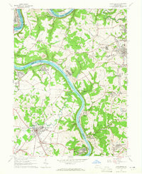
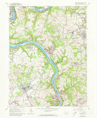
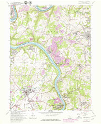
Editions of this 1964 Carmichaels Map
5 editions found
Other maps of this area

1900 · Masontown
USGS Topo · 1:62,500

1901 · Amity
USGS Topo · 1:62,500

1901 · Waynesburg
USGS Topo · 1:62,500

1902 · Brownsville
USGS Topo · 1:62,500

1903 · Masontown
USGS Topo · 1:62,500

1904 · Amity
USGS Topo · 1:62,500

1904 · Waynesburg
USGS Topo · 1:62,500

1906 · Brownsville
USGS Topo · 1:62,500

1931 · Brownsville
USGS Topo · 1:62,500

1931 · Masontown
USGS Topo · 1:62,500