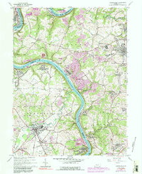
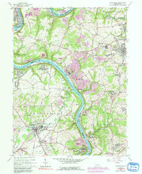
1964 Map of Carmichaels
USGS Topo · Published 1991About this map
The Monongahela River winds through this 1964 survey, defining the boundaries between Greene, Fayette, and Washington counties. This industrial river corridor is marked by the heavy infrastructure of the Monongahela Railway and Conrail, supporting numerous company towns and coal-related settlements like Crucible, Isabella, and Republic. The map reveals a landscape transitioning from the intense resource extraction of a strip mine or the Tower Hill No 2 site toward community development in places like Cumberland Village and Penncraft. Rural life remains anchored by local institutions such as West Bend Ch and the Carmichaels Area High Sch. This mid-century view captures the dense network of mining hamlets like Heistersburg, Allison, and Adah before later 20th-century shifts altered the regional footprint of the Monongahela Valley.
Find a feature on this map
77 named features on this map. Tap any name to fly to it.
Don’t see what you’re looking for? This feature index may not catch every label — zoom into the map to look around manually.
Map Details
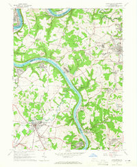
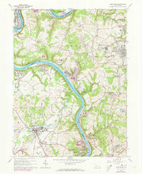
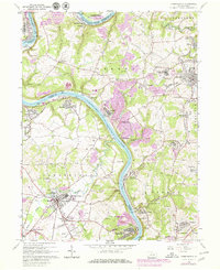
Editions of this 1964 Carmichaels Map
5 editions found
Other maps of this area

1900 · Masontown
USGS Topo · 1:62,500

1901 · Amity
USGS Topo · 1:62,500

1901 · Waynesburg
USGS Topo · 1:62,500

1902 · Brownsville
USGS Topo · 1:62,500

1903 · Masontown
USGS Topo · 1:62,500

1904 · Amity
USGS Topo · 1:62,500

1904 · Waynesburg
USGS Topo · 1:62,500

1906 · Brownsville
USGS Topo · 1:62,500

1931 · Brownsville
USGS Topo · 1:62,500

1931 · Masontown
USGS Topo · 1:62,500