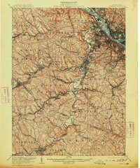
1906 Map of Carnegie
USGS Topo · Published 1913About this map
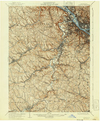
Chartiers Creek and its many tributaries carve a dense network of valleys across this landscape southwest of the three rivers' confluence, where the industrial expansion of the early 20th century met rural hamlets and mining camps. The terrain is defined by the heavy presence of rail infrastructure, including the Pennsylvania RR and the Wabash Pittsburgh Terminal RR, which served the region's extraction economy at sites like Cliff Mine. Local life centers around a series of small settlements and post offices that have since shifted or consolidated, such as Gladden Gradatim PO, Treveskyn Cuddy PO, and Hills Lawrence PO. The northern edge captures the industrial riverfront near Neville Island, while to the south, the map documents the institutional presence of the County Home and the reform school at Morganza near the growing hub of Canonsburg.
Find a feature on this map
113 named features on this map. Tap any name to fly to it.
Don’t see what you’re looking for? This feature index may not catch every label — zoom into the map to look around manually.
Map Details
Editions of this 1906 Carnegie Map
7 editions found


Other maps of this area

1901 · Amity
USGS Topo · 1:62,500

1901 · Beaver
USGS Topo · 1:62,500

1902 · Brownsville
USGS Topo · 1:62,500

1904 · Amity
USGS Topo · 1:62,500

1904 · Mc Keesport
USGS Topo · 1:62,500

1904 · Beaver
USGS Topo · 1:62,500

1904 · Carnegie
USGS Topo · 1:62,500

1904 · Burgettstown
USGS Topo · 1:62,500

1906 · Brownsville
USGS Topo · 1:62,500

1906 · Burgettstown
USGS Topo · 1:62,500