
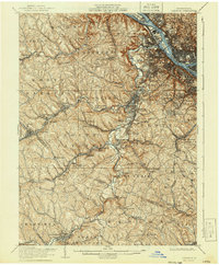
1906 Map of Carnegie
USGS Topo · Published 1944About this map
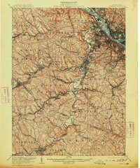
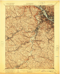
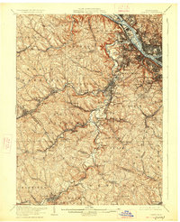
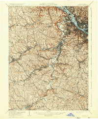
Chartiers Creek serves as the central drainage for this industrial corridor southwest of the Three Rivers confluence, where the Ohio River flows past Neville Island and Brunot Island. At the start of the twentieth century, the landscape is defined by the dense intersection of mining and transport, featuring operations like the Cliff Mine and various post offices including Heidelberg (Loupnex PO) and Panhandle (Borland PO). The rail network is remarkably complex, with the Pennsylvania RR and the Pittsburgh Cincinnati Chicago and St Louis RR navigating the valleys to serve early coal and manufacturing centers.
Find a feature on this map
97 named features on this map. Tap any name to fly to it.
Don’t see what you’re looking for? This feature index may not catch every label — zoom into the map to look around manually.
Map Details
Editions of this 1906 Carnegie Map
7 editions found

Other maps of this area

1901 · Amity
USGS Topo · 1:62,500

1901 · Beaver
USGS Topo · 1:62,500

1902 · Brownsville
USGS Topo · 1:62,500

1904 · Amity
USGS Topo · 1:62,500

1904 · Mc Keesport
USGS Topo · 1:62,500

1904 · Beaver
USGS Topo · 1:62,500

1904 · Carnegie
USGS Topo · 1:62,500

1904 · Burgettstown
USGS Topo · 1:62,500

1906 · Brownsville
USGS Topo · 1:62,500

1906 · Burgettstown
USGS Topo · 1:62,500