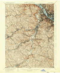
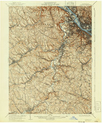
1906 Map of Carnegie
USGS Topo · Published 1935About this map
Chartiers Creek winds through the heart of this industrial landscape west of Pittsburgh, serving as a primary corridor for a dense network of early 20th-century railroads. The concentration of transportation infrastructure, including the Pittsburgh and Charteirs RR and the Pennsylvania RR, highlights the era's reliance on rail to connect rural mining operations with urban centers. Settlements like Carnegie, Oakdale, and McDonald appear as established hubs, while smaller nodes such as Beechmont and Rennerdale cluster along the valley floors.
Find a feature on this map
109 named features on this map. Tap any name to fly to it.
Don’t see what you’re looking for? This feature index may not catch every label — zoom into the map to look around manually.
Map Details
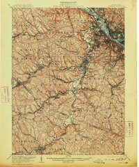
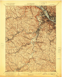
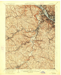
Editions of this 1906 Carnegie Map
7 editions found


Other maps of this area

1901 · Amity
USGS Topo · 1:62,500

1901 · Beaver
USGS Topo · 1:62,500

1902 · Brownsville
USGS Topo · 1:62,500

1904 · Amity
USGS Topo · 1:62,500

1904 · Mc Keesport
USGS Topo · 1:62,500

1904 · Beaver
USGS Topo · 1:62,500

1904 · Carnegie
USGS Topo · 1:62,500

1904 · Burgettstown
USGS Topo · 1:62,500

1906 · Brownsville
USGS Topo · 1:62,500

1906 · Burgettstown
USGS Topo · 1:62,500