
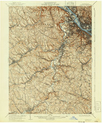
1906 Map of Carnegie
USGS Topo · Published 1906About this map
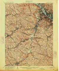
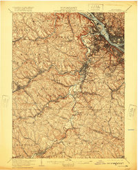
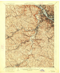
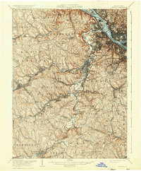
The industrial and agricultural convergence of the Pittsburgh region is on display here, where the Ohio River, Allegheny River, and Monongahela River meet. This early-century landscape is defined by its complex drainage and rail systems, notably the Pittsburg Cincinnati Chicago and St Louis Ry which links coal-rich hills and valley settlements. The terrain is deeply carved by watercourses like Chartiers Creek and Montour Run, leading to a settlement pattern where towns like McDonald and Oakdale follow the low ground. A fascinating layer of local history is visible in the hyphenated post office designations, such as Treveskyn Cuddy PO and Gladden Gradatim PO, reflecting the dense, evolving community nodes of the era. The County Home and Cliff Mine stand as markers of the social and economic priorities that shaped this portion of Allegheny and Washington Counties before modern suburbanization.
Find a feature on this map
111 named features on this map. Tap any name to fly to it.
Don’t see what you’re looking for? This feature index may not catch every label — zoom into the map to look around manually.
Map Details
Editions of this 1906 Carnegie Map
7 editions found

Other maps of this area

1901 · Amity
USGS Topo · 1:62,500

1901 · Beaver
USGS Topo · 1:62,500

1902 · Brownsville
USGS Topo · 1:62,500

1904 · Amity
USGS Topo · 1:62,500

1904 · Mc Keesport
USGS Topo · 1:62,500

1904 · Beaver
USGS Topo · 1:62,500

1904 · Carnegie
USGS Topo · 1:62,500

1904 · Burgettstown
USGS Topo · 1:62,500

1906 · Brownsville
USGS Topo · 1:62,500

1906 · Burgettstown
USGS Topo · 1:62,500