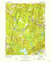
1953 Map of Carolina
USGS Topo · Published 1953About this map
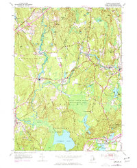
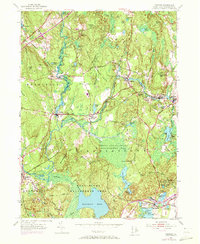
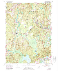
The Pawcatuck River and Wood River define the industrial and natural geography of this Washington County landscape, where textile mill heritage is evident in the cluster of villages along the water. The New York New Haven and Hartford railroad tracks parallel the rivers, serving vital stops like Carolina Station and Wood River Junction. This era reveals a significant portion of the land dedicated to conservation and tribal heritage, notably the Narragansett Reservation and the sprawling Burlingame Reservation surrounding Watchaug Pond.
Find a feature on this map
75 named features on this map. Tap any name to fly to it.
Don’t see what you’re looking for? This feature index may not catch every label — zoom into the map to look around manually.
Map Details
Editions of this 1953 Carolina Map
7 editions found
Other maps of this area

1889 · Stonington
USGS Topo · 1:62,500

1889 · Charlestown
USGS Topo · 1:62,500

1889 · Moosup
USGS Topo · 1:62,500

1890 · Kent
USGS Topo · 1:62,500

1893 · Moosup
USGS Topo · 1:62,500

1893 · Stonington
USGS Topo · 1:62,500

1894 · Kent
USGS Topo · 1:62,500

1919 · Charlestown
USGS Topo · 1:62,500

1920 · Moosup
USGS Topo · 1:62,500

1921 · Charlestown
USGS Topo · 1:62,500