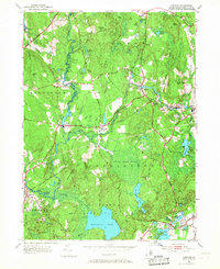
1953 Map of Carolina
USGS Topo · Published 1968About this map
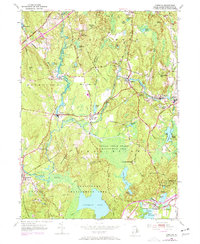
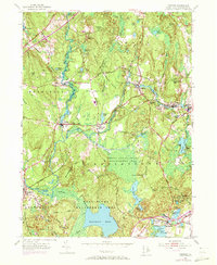
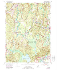
The Narragansett Indian Reservation occupies a significant portion of this landscape, characterized by the expansive wetlands of the Indian Cedar Swamp. The region's industrial and transport history is anchored by the New Haven and Hartford Railroad, which connects established mill villages and settlements like Shannock, Kenyon, and Carolina. These communities developed along the winding courses of the Wood River and Pawcatuck River, where water power once drove local enterprise.
Find a feature on this map
59 named features on this map. Tap any name to fly to it.
Don’t see what you’re looking for? This feature index may not catch every label — zoom into the map to look around manually.
Map Details
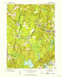
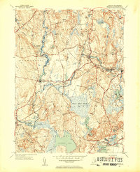
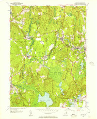
Editions of this 1953 Carolina Map
7 editions found
Other maps of this area

1889 · Stonington
USGS Topo · 1:62,500

1889 · Charlestown
USGS Topo · 1:62,500

1889 · Moosup
USGS Topo · 1:62,500

1890 · Kent
USGS Topo · 1:62,500

1893 · Moosup
USGS Topo · 1:62,500

1893 · Stonington
USGS Topo · 1:62,500

1894 · Kent
USGS Topo · 1:62,500

1919 · Charlestown
USGS Topo · 1:62,500

1920 · Moosup
USGS Topo · 1:62,500

1921 · Charlestown
USGS Topo · 1:62,500