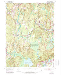
1953 Map of Carolina
USGS Topo · Published 1987About this map
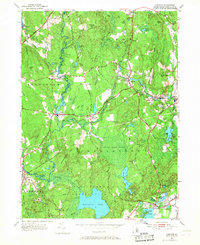
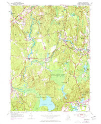
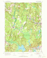
The Pawcatuck River and its tributaries carve a path through the wooded hills of Washington County, defining the early industrial character of this corner of Rhode Island. Mill villages like Carolina and Shannock are concentrated along the riverbanks, where the Penn Central rail corridor and historic routes like the New London Turnpike facilitated the movement of goods. The landscape transitions from these tight riverside clusters to large conservation areas, most notably the Indian Cedar Swamp Management Area.
Find a feature on this map
60 named features on this map. Tap any name to fly to it.
Don’t see what you’re looking for? This feature index may not catch every label — zoom into the map to look around manually.
Map Details
Editions of this 1953 Carolina Map
7 editions found
Other maps of this area

1889 · Stonington
USGS Topo · 1:62,500

1889 · Charlestown
USGS Topo · 1:62,500

1889 · Moosup
USGS Topo · 1:62,500

1890 · Kent
USGS Topo · 1:62,500

1893 · Moosup
USGS Topo · 1:62,500

1893 · Stonington
USGS Topo · 1:62,500

1894 · Kent
USGS Topo · 1:62,500

1919 · Charlestown
USGS Topo · 1:62,500

1920 · Moosup
USGS Topo · 1:62,500

1921 · Charlestown
USGS Topo · 1:62,500