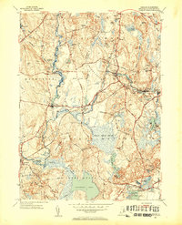
1953 Map of Carolina
USGS Topo · Published 1953About this map
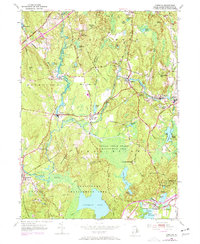
The Pawcatuck River and its tributary, the Wood River, define the industrial and social geography of south-central Rhode Island in the early 1950s. Mill villages like Carolina and Shannock are clustered tightly along the river banks, their locations dictated by the water power and the steel rails of the New York New Haven and Hartford railroad. This transportation corridor enabled the development of the textile industry that once flourished in settlements such as Kenyon and Alton.
Find a feature on this map
52 named features on this map. Tap any name to fly to it.
Don’t see what you’re looking for? This feature index may not catch every label — zoom into the map to look around manually.
Map Details
Editions of this 1953 Carolina Map
7 editions found
Other maps of this area

1889 · Stonington
USGS Topo · 1:62,500

1889 · Charlestown
USGS Topo · 1:62,500

1889 · Moosup
USGS Topo · 1:62,500

1890 · Kent
USGS Topo · 1:62,500

1893 · Moosup
USGS Topo · 1:62,500

1893 · Stonington
USGS Topo · 1:62,500

1894 · Kent
USGS Topo · 1:62,500

1919 · Charlestown
USGS Topo · 1:62,500

1920 · Moosup
USGS Topo · 1:62,500

1921 · Charlestown
USGS Topo · 1:62,500