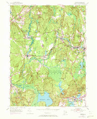
1953 Map of Carolina
USGS Topo · Published 1973About this map
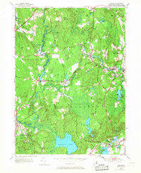
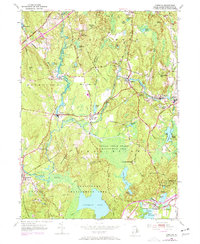
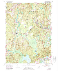
The Pawcatuck River and its tributaries define the industrial and natural landscape of this coastal Rhode Island region, where the Penn Central rail line historically linked mill villages like Shannock, Carolina, and Kenyon. The map documents a complex overlay of Indigenous history and early colonial sites, specifically within the Indian Cedar Swamp Management Area. Notable landmarks of local heritage include the Narragansett Indian Camp and the site of Fort Ninigret near the shores of Ninigret Pond.
Find a feature on this map
62 named features on this map. Tap any name to fly to it.
Don’t see what you’re looking for? This feature index may not catch every label — zoom into the map to look around manually.
Map Details
Editions of this 1953 Carolina Map
7 editions found
Other maps of this area

1889 · Stonington
USGS Topo · 1:62,500

1889 · Charlestown
USGS Topo · 1:62,500

1889 · Moosup
USGS Topo · 1:62,500

1890 · Kent
USGS Topo · 1:62,500

1893 · Moosup
USGS Topo · 1:62,500

1893 · Stonington
USGS Topo · 1:62,500

1894 · Kent
USGS Topo · 1:62,500

1919 · Charlestown
USGS Topo · 1:62,500

1920 · Moosup
USGS Topo · 1:62,500

1921 · Charlestown
USGS Topo · 1:62,500