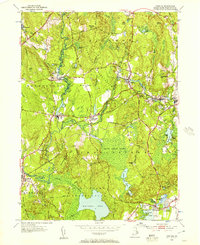
1953 Map of Carolina
USGS Topo · Published 1957About this map
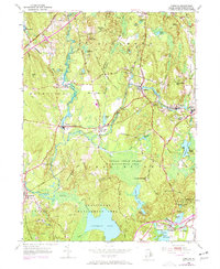
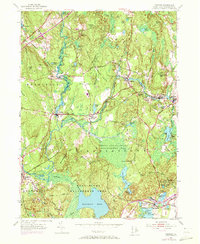
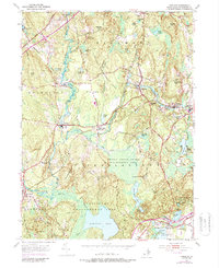
The Wood River and Pawcatuck River systems dominate this mid-century landscape, guiding the development of South County's historic village centers. Settlements like Carolina and Shannock are positioned along these waterways and the New York New Haven and Hartford RR, reflecting the region's industrial and transit-driven heritage. The map documents significant land use patterns, from the organized Burlingame Reservation surrounding Watchaug Pond to the expansive Indian Cedar Swamp.
Find a feature on this map
77 named features on this map. Tap any name to fly to it.
Don’t see what you’re looking for? This feature index may not catch every label — zoom into the map to look around manually.
Map Details
Editions of this 1953 Carolina Map
7 editions found
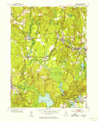
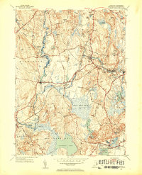
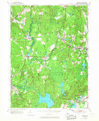
Other maps of this area

1889 · Stonington
USGS Topo · 1:62,500

1889 · Charlestown
USGS Topo · 1:62,500

1889 · Moosup
USGS Topo · 1:62,500

1890 · Kent
USGS Topo · 1:62,500

1893 · Moosup
USGS Topo · 1:62,500

1893 · Stonington
USGS Topo · 1:62,500

1894 · Kent
USGS Topo · 1:62,500

1919 · Charlestown
USGS Topo · 1:62,500

1920 · Moosup
USGS Topo · 1:62,500

1921 · Charlestown
USGS Topo · 1:62,500