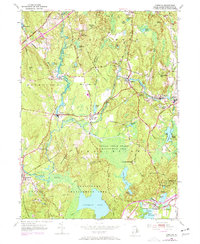
1953 Map of Carolina
USGS Topo · Published 1972About this map
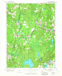
The Pawcatuck River and its tributaries carve a path through this coastal Rhode Island landscape, defining the boundaries and development of Richmond, Hopkinton, and Charlestown. Small mill villages and rail-dependent settlements like Carolina, Shannock, and Kenyon are tied together by the Penn Central tracks, while the southern portion of the sheet reveals significant indigenous and early colonial history. The Indian Cedar Swamp Management Area dominates the central terrain, leading toward the Narragansett Indian Ch and the storied Indian Burying Hill. Cultural landmarks, including Fort Ninigret and the Charlestown Sch, sit near the coastal ponds of Ninigret Pond and Watchaug Pond, reflecting a landscape managed for conservation and historical memory in the mid-20th century.
Find a feature on this map
61 named features on this map. Tap any name to fly to it.
Don’t see what you’re looking for? This feature index may not catch every label — zoom into the map to look around manually.
Map Details
Editions of this 1953 Carolina Map
7 editions found
Other maps of this area

1889 · Stonington
USGS Topo · 1:62,500

1889 · Charlestown
USGS Topo · 1:62,500

1889 · Moosup
USGS Topo · 1:62,500

1890 · Kent
USGS Topo · 1:62,500

1893 · Moosup
USGS Topo · 1:62,500

1893 · Stonington
USGS Topo · 1:62,500

1894 · Kent
USGS Topo · 1:62,500

1919 · Charlestown
USGS Topo · 1:62,500

1920 · Moosup
USGS Topo · 1:62,500

1921 · Charlestown
USGS Topo · 1:62,500