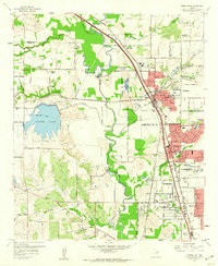
1959 Map of Carrollton
USGS Topo · Published 1960About this map
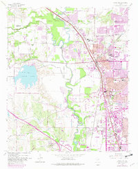
Elm Fork Trinity River and its numerous tributaries, including Hutton Branch and Rawhide Creek, dominate this landscape at the intersection of Dallas and Denton Counties. The era is marked by industrial infrastructure like the Elm Fork Filtration Plant, extensive gravel pits, and the presence of the Missouri Kansas Texas and St Louis Southwestern railroads. These rail lines converge near the growing centers of Carrollton and Farmers Branch, while the western portion of the map remains more rural. Local history is anchored by sites such as the Bethel Ch, Perry Cem, and the Hackberry Ranch. In the south, the Park Cities Airfield and a drag strip reflect mid-century land use, while North Lake provides a major focal point for the surrounding Coppell community and North Lake Park.
Find a feature on this map
72 named features on this map. Tap any name to fly to it.
Don’t see what you’re looking for? This feature index may not catch every label — zoom into the map to look around manually.
Map Details
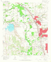
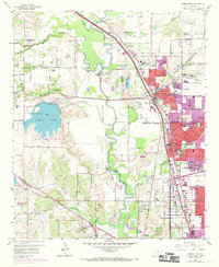
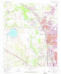
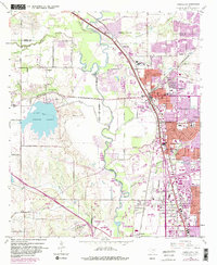
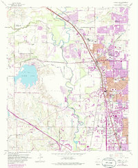
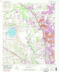
Editions of this 1959 Carrollton Map
8 editions found
Other maps of this area

1891 · Dallas
USGS Topo · 1:125,000

1893 · Dallas
USGS Topo · 1:125,000

1894 · Fort Worth
USGS Topo · 1:125,000

1925 · Mc Kinney 3-c
USGS Topo · 1:48,000

1925 · Dallas 2-b
USGS Topo · 1:48,000

1929 · Frisco
USGS Topo · 1:62,500

1931 · Carrollton
USGS Topo · 1:62,500

1931 · Grapevine
USGS Topo · 1:62,500

1954 · Dallas
USGS Topo · 1:250,000

1954 · Sherman
USGS Topo · 1:250,000