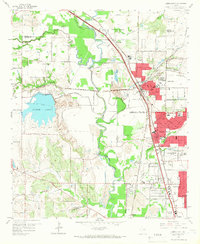
1959 Map of Carrollton
USGS Topo · Published 1966About this map
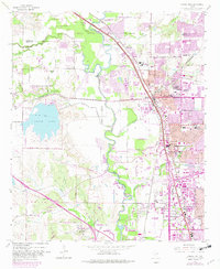
The Elm Fork Trinity River winds through this North Texas landscape, marking the transition from agricultural floodplains to the rapidly expanding suburbs of the late 1950s. The burgeoning industrial and residential zones of Carrollton and Farmers Branch are captured in their mid-century form, centered around the intersection of the St Louis Southwestern Railway and the Missouri Kansas and Texas RR. To the west, the man-made North Lake and its surrounding North Lake Park represent the era's significant utility and recreational developments. Extensive Gravel Pits along the river banks illustrate the local extractive industry fueling regional construction. Genealogists can locate family landmarks like Perry Cem and Hilltop Mem Park, while local historians can trace the early footprints of the Coppell community and the FAA Beacon near Gribble.
Find a feature on this map
55 named features on this map. Tap any name to fly to it.
Don’t see what you’re looking for? This feature index may not catch every label — zoom into the map to look around manually.
Map Details
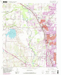
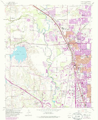
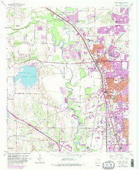
Editions of this 1959 Carrollton Map
8 editions found
Other maps of this area

1891 · Dallas
USGS Topo · 1:125,000

1893 · Dallas
USGS Topo · 1:125,000

1894 · Fort Worth
USGS Topo · 1:125,000

1925 · Mc Kinney 3-c
USGS Topo · 1:48,000

1925 · Dallas 2-b
USGS Topo · 1:48,000

1929 · Frisco
USGS Topo · 1:62,500

1931 · Carrollton
USGS Topo · 1:62,500

1931 · Grapevine
USGS Topo · 1:62,500

1954 · Dallas
USGS Topo · 1:250,000

1954 · Sherman
USGS Topo · 1:250,000