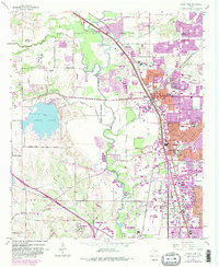
1959 Map of Carrollton
USGS Topo · Published 1986About this map
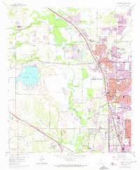
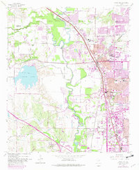
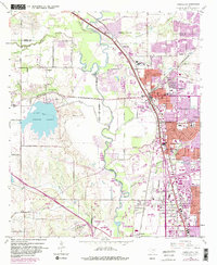
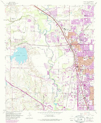
Elm Fork Trinity River snakes through this North Texas landscape, defining the boundaries and industrial character of a region in transition. The map captures the extensive Gravel Pits concentrated along the river's path, fueling the post-war construction boom that reshaped Dallas and its northern neighbors. A dense network of rail lines, including the Missouri Kansas Texas RR and the St Louis Southwestern RR, intersects at Carrollton, marking it as a vital transportation hub. To the west, the creation of North Lake and the development of Coppell contrast with the established rural character of Bethel. Local landmarks such as Trinity Mills and the Forest Lawn Cem provide critical touchpoints for genealogists, while the presence of Gribble and Oldham reflects the smaller communities eventually enveloped by the expanding urban footprints of Farmers Branch and Irving.
Find a feature on this map
44 named features on this map. Tap any name to fly to it.
Don’t see what you’re looking for? This feature index may not catch every label — zoom into the map to look around manually.
Map Details
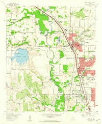
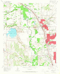
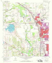
Editions of this 1959 Carrollton Map
8 editions found
Other maps of this area

1891 · Dallas
USGS Topo · 1:125,000

1893 · Dallas
USGS Topo · 1:125,000

1894 · Fort Worth
USGS Topo · 1:125,000

1925 · Mc Kinney 3-c
USGS Topo · 1:48,000

1925 · Dallas 2-b
USGS Topo · 1:48,000

1929 · Frisco
USGS Topo · 1:62,500

1931 · Carrollton
USGS Topo · 1:62,500

1931 · Grapevine
USGS Topo · 1:62,500

1954 · Dallas
USGS Topo · 1:250,000

1954 · Sherman
USGS Topo · 1:250,000