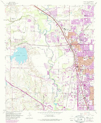
1959 Map of Carrollton
USGS Topo · Published 1986About this map
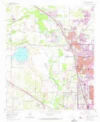
The Elm Fork Trinity River winds through the heart of this landscape, anchoring a region undergoing rapid transformation during the late 1950s. The expansion of residential and commercial districts is particularly evident in Carrollton and Farmers Branch, where new subdivisions and street networks appear alongside long-standing landmarks like Perry Cem. The industrial and infrastructure character of the era is defined by extensive Gravel Pits and the Elm Fork Filtration Plant, while the massive North Lake reservoir stands as a central topographic feature. Rural holdouts like Hackberry Ranch and the small settlement of Bethel contrast with the rail-driven growth near the intersection of the St Louis Southwestern Railway and the Missouri-Kansas-Texas RR. This survey captures the critical moment when the post-war suburban footprint began to coalesce around established railway stops and river crossings.
Find a feature on this map
49 named features on this map. Tap any name to fly to it.
Don’t see what you’re looking for? This feature index may not catch every label — zoom into the map to look around manually.
Map Details
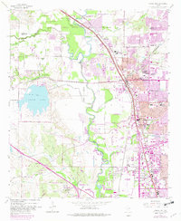
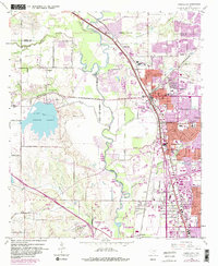
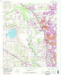
Editions of this 1959 Carrollton Map
8 editions found
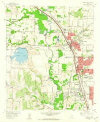
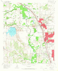
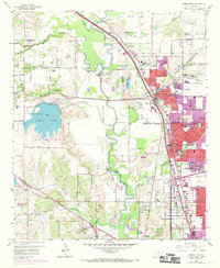
Other maps of this area

1891 · Dallas
USGS Topo · 1:125,000

1893 · Dallas
USGS Topo · 1:125,000

1894 · Fort Worth
USGS Topo · 1:125,000

1925 · Mc Kinney 3-c
USGS Topo · 1:48,000

1925 · Dallas 2-b
USGS Topo · 1:48,000

1929 · Frisco
USGS Topo · 1:62,500

1931 · Carrollton
USGS Topo · 1:62,500

1931 · Grapevine
USGS Topo · 1:62,500

1954 · Dallas
USGS Topo · 1:250,000

1954 · Sherman
USGS Topo · 1:250,000