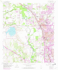
1959 Map of Carrollton
USGS Topo · Published 1982About this map
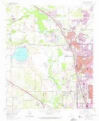
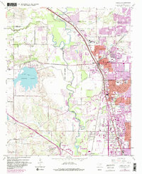
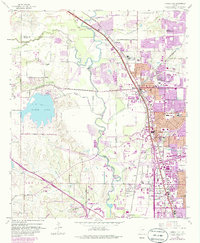
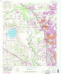
Elm Fork Trinity River snakes through the heart of this landscape, separating the emerging suburbs of Carrollton and Farmers Branch from the western gravel pits and ranch lands. The 1959 survey, updated with 1981 data, captures a pivotal era of northward expansion from Irving and Dallas. Significant infrastructure projects are visible, including the development of North Lake and the construction of massive highway interchanges near Gribble.
Find a feature on this map
54 named features on this map. Tap any name to fly to it.
Don’t see what you’re looking for? This feature index may not catch every label — zoom into the map to look around manually.
Map Details
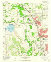
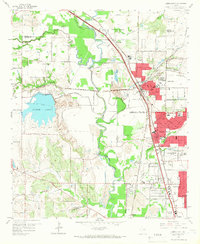
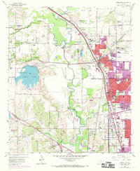
Editions of this 1959 Carrollton Map
8 editions found
Other maps of this area

1891 · Dallas
USGS Topo · 1:125,000

1893 · Dallas
USGS Topo · 1:125,000

1894 · Fort Worth
USGS Topo · 1:125,000

1925 · Mc Kinney 3-c
USGS Topo · 1:48,000

1925 · Dallas 2-b
USGS Topo · 1:48,000

1929 · Frisco
USGS Topo · 1:62,500

1931 · Carrollton
USGS Topo · 1:62,500

1931 · Grapevine
USGS Topo · 1:62,500

1954 · Dallas
USGS Topo · 1:250,000

1954 · Sherman
USGS Topo · 1:250,000