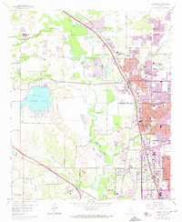
1959 Map of Carrollton
USGS Topo · Published 1974About this map
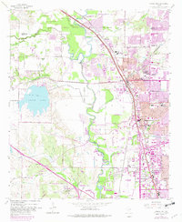
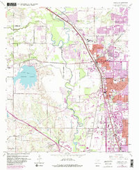
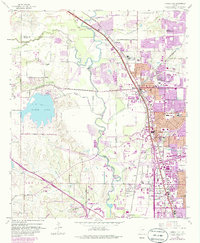
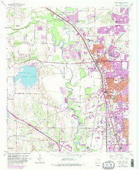
Trinity River and its meandering Elm Fork dominate this landscape during a period of rapid suburban expansion north of Dallas. The map illustrates the transition from a rural, rail-centered economy to a modern residential grid. Established hubs like Carrollton and Farmers Branch are shown alongside smaller settlements such as Coppell, Gribble, and Highland. The importance of water management and local industry is evident through features like the Elm Fork Filtration Plant, numerous gravel pits, and the large reservoir at North Lake.
Find a feature on this map
59 named features on this map. Tap any name to fly to it.
Don’t see what you’re looking for? This feature index may not catch every label — zoom into the map to look around manually.
Map Details
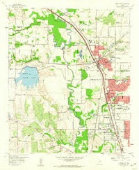
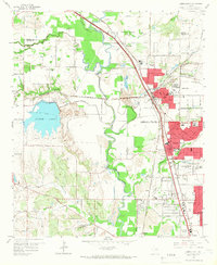
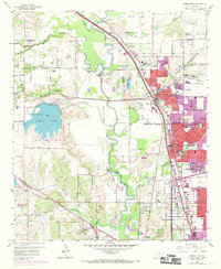
Editions of this 1959 Carrollton Map
8 editions found
Other maps of this area

1891 · Dallas
USGS Topo · 1:125,000

1893 · Dallas
USGS Topo · 1:125,000

1894 · Fort Worth
USGS Topo · 1:125,000

1925 · Mc Kinney 3-c
USGS Topo · 1:48,000

1925 · Dallas 2-b
USGS Topo · 1:48,000

1929 · Frisco
USGS Topo · 1:62,500

1931 · Carrollton
USGS Topo · 1:62,500

1931 · Grapevine
USGS Topo · 1:62,500

1954 · Dallas
USGS Topo · 1:250,000

1954 · Sherman
USGS Topo · 1:250,000