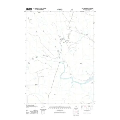
2012 Map of Cascade Springs
USGS Topo · Published 2012About this map
Cascade Springs and the surrounding canyon country define this section of Fall River County, where the Cheyenne River carves a deep path through the landscape. This 2012 survey captures a distinct mix of natural hydrology and early settlement markers, ranging from the isolated Miller Cabin in the north to the established Highland Cem overlooking the river valley. The area is characterized by a high concentration of springs and waterfalls, including the notable Cascade Falls, Bridal Veil Spring, and Cool Spring, which have long drawn visitors to the region.
Find a feature on this map
36 named features on this map. Tap any name to fly to it.
Don’t see what you’re looking for? This feature index may not catch every label — zoom into the map to look around manually.
Map Details
Editions of this 2012 Cascade Springs Map
This is the sole edition of this map. No revisions or reprints were ever made.
Other maps of this area

1896 · Oelrichs
USGS Topo · 1:125,000

1900 · Oelrichs
USGS Topo · 1:125,000

1902 · Edgemont
USGS Topo · 1:125,000

1950 · Hot Springs
USGS Topo · 1:24,000

1950 · Heppner
USGS Topo · 1:24,000

1950 · Cascade Springs
USGS Topo · 1:24,000

1950 · Angostura Reservoir
USGS Topo · 1:24,000

1950 · Rumford
USGS Topo · 1:24,000

1950 · Minnekahta
USGS Topo · 1:24,000

1950 · Flint Hill
USGS Topo · 1:24,000