
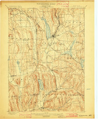
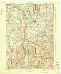
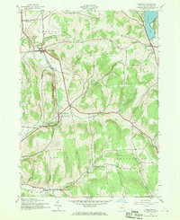
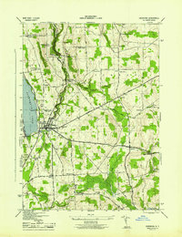
1899 Map of Cazenovia
USGS Topo · Published 1899This historical map portrays the area of Cazenovia in 1899, primarily covering Madison County as well as portions of Cortland County and Onondaga County. Featuring a scale of 1:62500, this map provides a highly detailed snapshot of the terrain, roads, buildings, counties, and historical landmarks in the Cazenovia region at the time. Published in 1899, it is one of 7 known editions of this map due to revisions or reprints.
Find a feature on this map
58 named features on this map. Tap any name to fly to it.
Don’t see what you’re looking for? This feature index may not catch every label — zoom into the map to look around manually.
Map Details
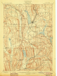
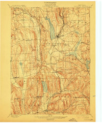
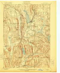
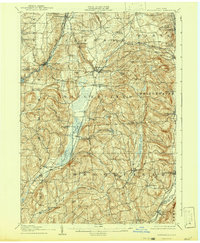
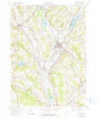
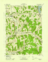
Editions of this 1899 Cazenovia Map
7 editions found
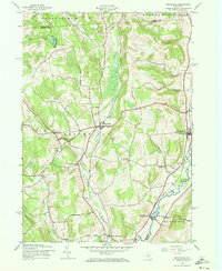
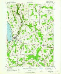
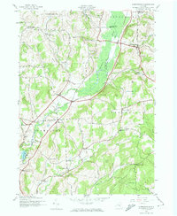
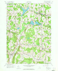
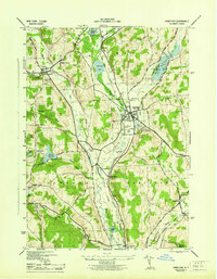
Historical Maps of Abell Corners Through Time
16 maps found

1897 Cazenovia
Madison County, NY

1899 Cazenovia
Madison County, NY
1907 Sangerfield
Madison County, NY
1943 Brookfield
Madison County, NY
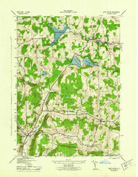
1943 Cazenovia
Madison County, NY
1943 Erieville
Madison County, NY
1943 Hamilton
Madison County, NY
1943 Hubbardsville
Madison County, NY

1943 Sangerfield
Madison County, NY
1943 West Eaton
Madison County, NY
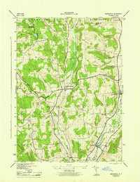
1944 Cazenovia
Madison County, NY
1944 Erieville
Madison County, NY
1944 Hamilton
Madison County, NY
1944 Hubbardsville
Madison County, NY
1944 West Eaton
Madison County, NY
1945 Brookfield
Madison County, NY