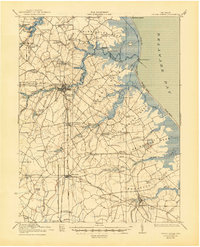
1938 Map of Cedar Creek
USGS Topo · Published 1945About this map
The Mispillion River and Broadkill River anchor this coastal survey, where the low-lying terrain of Sussex County meets Delaware Bay. The landscape is defined by distinct necks of land, including Slaughter Neck and Primehook Neck, which are separated by tidal creeks and an intricate system of millponds. The town of Milford serves as a central hub, where the Philadelphia Baltimore and Washington railroad line crosses the river.
Find a feature on this map
77 named features on this map. Tap any name to fly to it.
Don’t see what you’re looking for? This feature index may not catch every label — zoom into the map to look around manually.
Map Details
Editions of this 1938 Cedar Creek Map
2 editions found

Other maps of this area

1890 · Maurice Cove
USGS Topo · 1:62,500

1891 · Maurice Cove
USGS Topo · 1:62,500

1899 · Vineland
USGS Topo · 1:125,000

1899 · Dover
USGS Topo · 1:125,000

1906 · Dover
USGS Topo · 1:125,000

1915 · Seaford
USGS Topo · 1:62,500

1917 · Millsboro
USGS Topo · 1:62,500

1918 · Cedar Creek
USGS Topo · 1:62,500

1918 · Harrington
USGS Topo · 1:62,500

1918 · Rehoboth
USGS Topo · 1:62,500