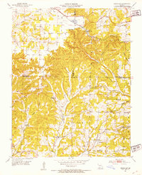
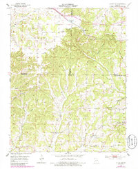
1951 Map of Cedar Gap
USGS Topo · Published 1953About this map
The St Louis - San Francisco railway winds through the high divide of Pleasant Valley and Findley, anchoring the settlement of Cedar Gap. This early 1950s terrain, documented by State Geologist Edward L. Clark, reveals a landscape in transition, characterized by a high concentration of small rural institutions that were already beginning to fade from use. The map identifies several defunct educational sites, including Skylight Sch and Flint Point Sch, providing a precise record of local district history.
Find a feature on this map
38 named features on this map. Tap any name to fly to it.
Don’t see what you’re looking for? This feature index may not catch every label — zoom into the map to look around manually.
Map Details
Editions of this 1951 Cedar Gap Map
5 editions found
Other maps of this area

1936 · Ava
USGS Topo · 1:48,000

1937 · Bradleyville
USGS Topo · 1:48,000

1939 · Fordland
USGS Topo · 1:62,500

1942 · Fordland
USGS Topo · 1:62,500

1942 · Ava
USGS Topo · 1:62,500

1943 · Bradleyville
USGS Topo · 1:62,500

1945 · Ava
USGS Topo · 1:62,500

1945 · Harrison
USGS Topo · 1:250,000

1945 · Bradleyville
USGS Topo · 1:62,500

1949 · Harrison
USGS Topo · 1:250,000