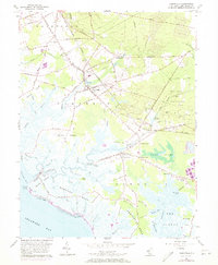
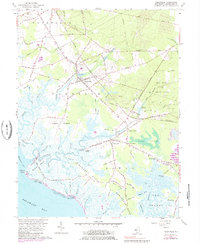
1956 Map of Cedarville
USGS Topo · Published 1973About this map
Cedarville and Newport anchor this coastal landscape in the mid-1950s, where the agricultural uplands of Cumberland County meet the expansive wetlands of The Glades and Bear Swamp. The Central Railroad of New Jersey tracks define the transportation spine of the region, cutting through Lummistown and providing a rail link for the inland sand pits and local mills. Along the Delaware Bay shoreline, isolated communities like Gandys Beach and Hollywood Beach are separated by a complex network of tidal guts and salt marshes, including Nantuxent Creek and the tidal reaches of Cedar Creek. Genealogy researchers will find significant markers of early settlement at the Old Stone Church and its accompanying Old Stone Church Cemetery, along with the Cedar Hill Church near the center of town. These established landmarks, alongside the Nantuxent Point Lighthouse, highlight a region defined by its reliance on both the fertile inland soils and the maritime resources of the bay.
Find a feature on this map
108 named features on this map. Tap any name to fly to it.
Don’t see what you’re looking for? This feature index may not catch every label — zoom into the map to look around manually.
Map Details
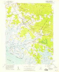
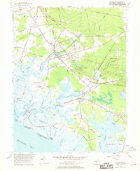
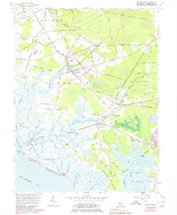
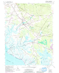
Editions of this 1956 Cedarville Map
6 editions found
Other maps of this area

1890 · Maurice Cove
USGS Topo · 1:62,500

1890 · Bay Side
USGS Topo · 1:62,500

1890 · Bridgeton
USGS Topo · 1:62,500

1891 · Maurice Cove
USGS Topo · 1:62,500

1894 · Bay Side
USGS Topo · 1:62,500

1894 · Bridgeton
USGS Topo · 1:62,500

1899 · Vineland
USGS Topo · 1:125,000

1919 · Vineland
USGS Topo · 1:125,000
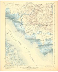
1931 · Bay Side
USGS Topo · 1:62,500

1934 · Bowers
USGS Topo · 1:48,000
Featured Places
- Fairfield Township, NJ
- Lawrence Township, NJ
- Downe Township, NJ
- Lummistown, Lawrence Township
- Cedarville, Lawrence Township