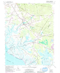
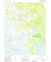
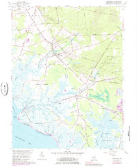
1956 Map of Cedarville
USGS Topo · Published 1993About this map
The maritime and agricultural landscape of Cumberland County is defined by the labyrinthine tidal guts and marshes along the Delaware Bay. Inland from the coast, the settlement of Cedarville serves as a central hub, connected to the surrounding countryside by the Central Railroad of New Jersey and local thoroughfares like New Jersey Road. The map reveals a community deeply tied to its natural resources, with numerous Sand Pits scattered near the rail lines and several mill ponds, including Lummis Mill Pond and Shaws Mill Pond, suggesting a history of local water-powered industry.
Find a feature on this map
100 named features on this map. Tap any name to fly to it.
Don’t see what you’re looking for? This feature index may not catch every label — zoom into the map to look around manually.
Map Details
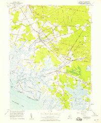
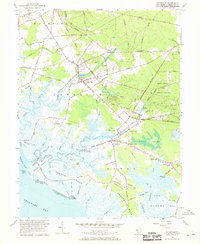
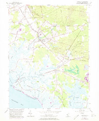
Editions of this 1956 Cedarville Map
6 editions found
Other maps of this area

1890 · Maurice Cove
USGS Topo · 1:62,500

1890 · Bay Side
USGS Topo · 1:62,500

1890 · Bridgeton
USGS Topo · 1:62,500

1891 · Maurice Cove
USGS Topo · 1:62,500

1894 · Bay Side
USGS Topo · 1:62,500

1894 · Bridgeton
USGS Topo · 1:62,500

1899 · Vineland
USGS Topo · 1:125,000

1919 · Vineland
USGS Topo · 1:125,000
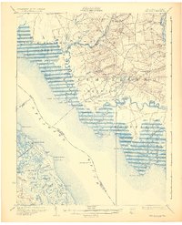
1931 · Bay Side
USGS Topo · 1:62,500

1934 · Bowers
USGS Topo · 1:48,000
Featured Places
- Fairfield Township, NJ
- Lawrence Township, NJ
- Downe Township, NJ
- Lummistown, Lawrence Township
- Cedarville, Lawrence Township