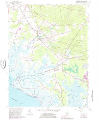
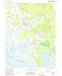
1956 Map of Cedarville
USGS Topo · Published 1984About this map
Cedarville and the surrounding marshlands of Cumberland County are defined by a complex network of coastal guts and necks along the Delaware Bay. The landscape transitions from the agricultural and residential centers of Lummistown and Newport to the tidal expanse of The Glades and Bear Swamp. The Central Railroad of New Jersey provides a clear industrial corridor through the region, serving stops like Westcott Station. Along the shoreline, small coastal outposts at Gandys Beach and Hollywood Beach sit at the edge of the wetlands, while the Nantuxent Point Lighthouse marks the transition into Nantuxent Cove. Local heritage is anchored by sites like the Old Stone Church and the Cedar Hill Cem, reflecting the early settlement patterns of Fairfield and Lawrence townships. The map also captures the maritime and timber economy through features such as Shaws Mill Pond and Newport Landing.
Find a feature on this map
98 named features on this map. Tap any name to fly to it.
Don’t see what you’re looking for? This feature index may not catch every label — zoom into the map to look around manually.
Map Details
Editions of this 1956 Cedarville Map
6 editions found
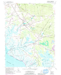
Other maps of this area

1890 · Maurice Cove
USGS Topo · 1:62,500

1890 · Bay Side
USGS Topo · 1:62,500

1890 · Bridgeton
USGS Topo · 1:62,500

1891 · Maurice Cove
USGS Topo · 1:62,500

1894 · Bay Side
USGS Topo · 1:62,500

1894 · Bridgeton
USGS Topo · 1:62,500

1899 · Vineland
USGS Topo · 1:125,000

1919 · Vineland
USGS Topo · 1:125,000
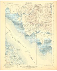
1931 · Bay Side
USGS Topo · 1:62,500

1934 · Bowers
USGS Topo · 1:48,000
Featured Places
- Fairfield Township, NJ
- Lawrence Township, NJ
- Downe Township, NJ
- Lummistown, Lawrence Township
- Cedarville, Lawrence Township